Medium airport · Australia
Warren AirportYWRN
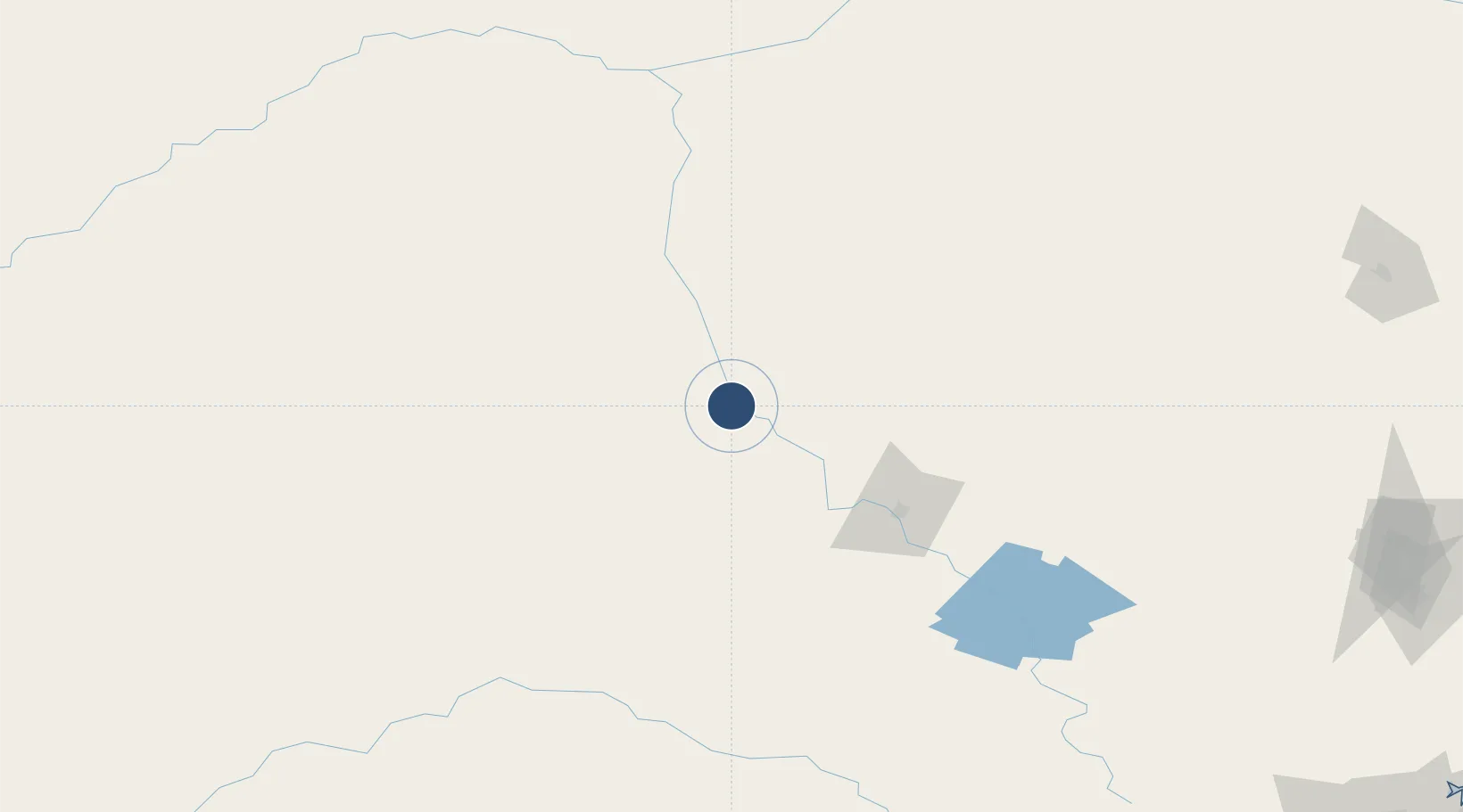
-31.7333°, 147.8030°
3,894 ft
Longest runway
2
Runways
669 ft
Elevation
Runway & Layout

Radio Frequencies
CTAF
126.7 MHz
FSS
123.9 MHz
MELBOURNE CNTR
Runways · 2
| Runway | Dimensions | Surface | True heading | Lit |
|---|---|---|---|---|
| 09/27 | 3,894 × 60ft | Asphalt | 100° | ✓ |
| 03/21 | 3,461 × 98ft | Grass | 042° | — |
Airport Specifications
ICAO code
YWRN
Airport class
Medium airport
Scheduled service
No
Runway surface
Asphalt
Location
Nearby Logistics Neighbours
Airports
- 1Narromine Airport67 km
- 2Dubbo City Regional Airport91 km
- 3Coonamble Airport100 km
- 4Coonabarabran Airport146 km
- 5Parkes Airport161 km
Cities
- 1Narromine69 km
- 2Tottenham72 km
- 3Coolabah132 km
- 4Dunedoo154 km
- 5Burren Junction213 km
Ports
- 1Sydney396 km
- 2Newcastle396 km
- 3Botany Bay408 km
- 4Port Kembla421 km
- 5Jervis Bay468 km
Trade Zones
DatabookThe Record of Consolidated Knowledge
Australia beyond logistics?