Medium airport · Australia
Forbes AirportYFBS
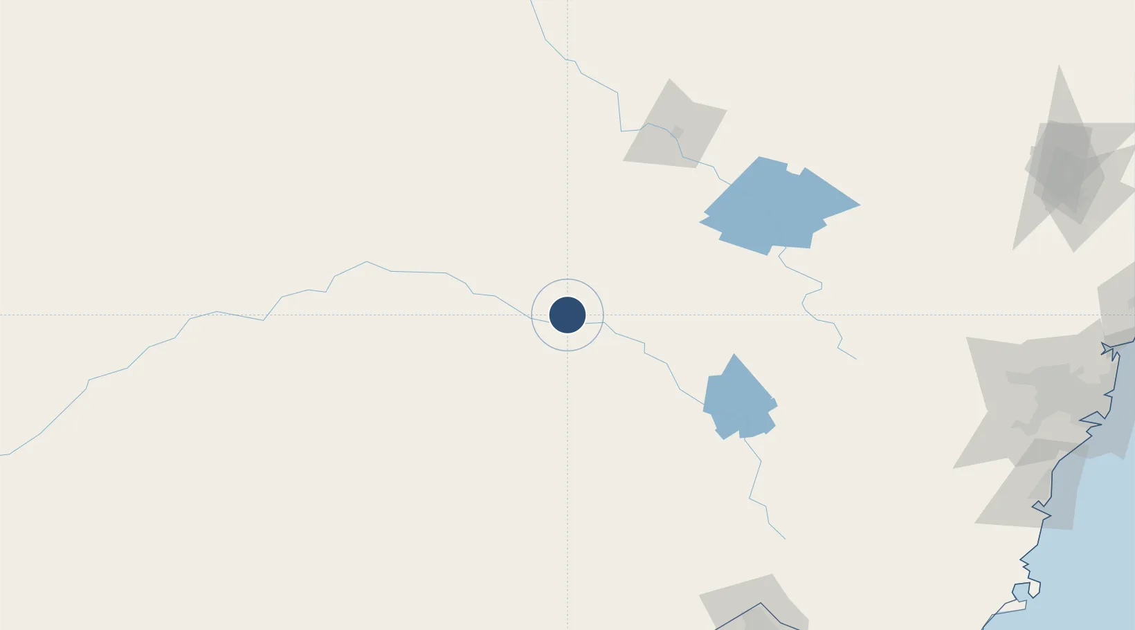
-33.3636°, 147.9350°
4,029 ft
Longest runway
1
Runways
760 ft
Elevation
Runway & Layout

Radio Frequencies
CTAF
126.7 MHz
FSS
135.25 MHz
MELBOURNE CNTR
Navaids
FBS NDB Forbes 486 kHz
Runways · 1
| Runway | Dimensions | Surface | True heading | Lit |
|---|---|---|---|---|
| 09/27 | 4,029 × 60ft | Asphalt | 099° | ✓ |
Airport Specifications
IATA code
FRB
ICAO code
YFBS
Airport class
Medium airport
Scheduled service
No
Runway surface
Asphalt
Served city
Forbes
Location
Nearby Logistics Neighbours
Airports
- 1Parkes Airport38 km
- 2Cowra Airport85 km
- 3West Wyalong Airport94 km
- 4Young Airport103 km
- 5Orange Airport111 km
Cities
- 1Wyalong90 km
- 2Koorawatha94 km
- 3Ungarie95 km
- 4Bendick Murrell101 km
- 5Tullibigeal113 km
Ports
- 1Port Kembla302 km
- 2Sydney308 km
- 3Botany Bay313 km
- 4Jervis Bay328 km
- 5Batemans Bay331 km
Trade Zones
DatabookThe Record of Consolidated Knowledge
Australia beyond logistics?