Transport Functions
Rail
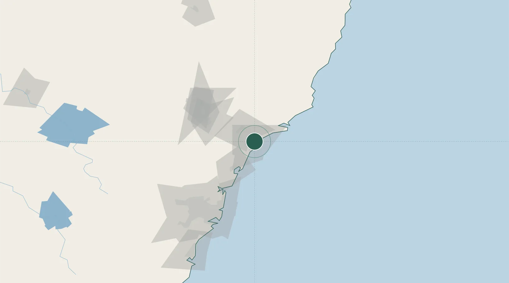
Hub Profile
Place type
Urban district
Region
New South Wales
Population
4,187
Time zone
Australia/Sydney
Elevation
12 m
Location
Nearby Logistics Neighbours
Cities
- 1New Lambton3 km
- 2Warabrook5 km
- 3Newcastle5 km
- 4Kotara6 km
- 5Sandgate7 km
Ports
- 1Newcastle5 km
- 2Sydney117 km
- 3Botany Bay129 km
- 4Port Kembla190 km
- 5Jervis Bay259 km
Airports
- 1Newcastle Airport16 km
- 2Palm Beach Seaplane Base84 km
- 3RAAF Base Richmond117 km
- 4Sydney Kingsford Smith International Airport126 km
- 5Sydney Bankstown Airport132 km
Trade Zones
DatabookThe Record of Consolidated Knowledge
Australia beyond logistics?