UN/LOCODE hub · Australia
AUWKR

Kotara

-32.9500°, 151.6833°
3,846
Population
1
Transport functions

Transport Functions

Multimodal
UN/LOCODE

Hub Profile

Place type
Urban district
GeoNames
Region
New South Wales
GeoNames
Population
3,846
GeoNames
Time zone
Australia/Sydney
GeoNames
Elevation
48 m
GeoNames

Location

Location of AUWKR
Natural Earth 10m (public domain) · New South Wales · AUWKR · -32.95, 151.68GoogleOSMYandex

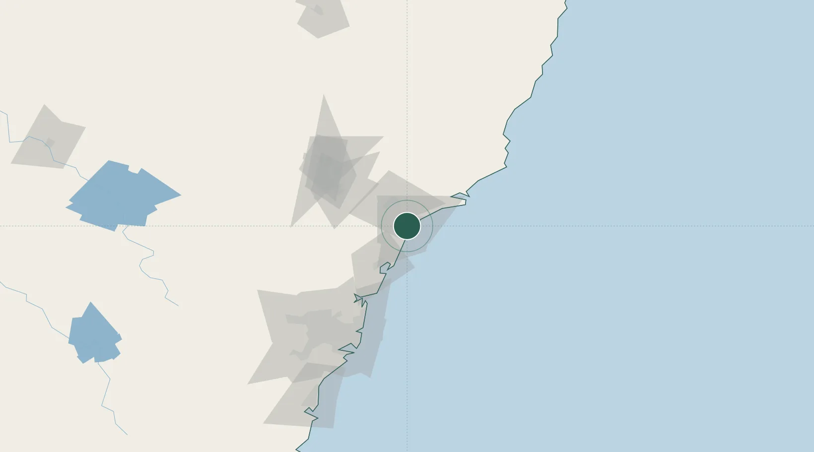
Nearby Logistics Neighbours

Cities
  1. 1Warners Bay4 km
  2. 2New Lambton4 km
  3. 3Hamilton6 km
  4. 4Warabrook8 km
  5. 5Toronto10 km
Nearest neighbours — logibook spatial index (haversine) over the source coordinates
Ports
  1. 1Newcastle10 km
  2. 2Sydney111 km
  3. 3Botany Bay124 km
  4. 4Port Kembla185 km
  5. 5Jervis Bay254 km
Nearest neighbours — logibook spatial index (haversine) over the source coordinates
Airports
  1. 1Newcastle Airport22 km
  2. 2Palm Beach Seaplane Base78 km
  3. 3RAAF Base Richmond111 km
  4. 4Sydney Kingsford Smith International Airport120 km
  5. 5Sydney Bankstown Airport126 km
Nearest neighbours — logibook spatial index (haversine) over the source coordinates
Trade Zones
  1. 1Latrobe Valley Economic Growth Zone758 km
  2. 2Hicks Bay Area Special Economic Zone2448 km
  3. 3Vanuatu Economic Development Zone2489 km
  4. 4Paga Hill Estate Special Economic Zone2651 km
  5. 5Tulagi Island Special Economic Zone2790 km
Nearest neighbours — logibook spatial index (haversine) over the source coordinates
DatabookThe Record of Consolidated Knowledge
Australia beyond logistics?
Browse databook

All Sources

LocationsUN/LOCODE
UN/LOCODE — free
LocationsGeoNames
CC BY 4.0
Portsthe NGA World Port Index
Public domain (US gov)
AirportsOurAirports
Public domain
Trade Zonesthe World Bank SEZ database
CC BY 4.0
Trade ZonesOpen Zone Map
CC BY
← Australia locations