UN/LOCODE hub · Australia
AUNLT

New Lambton

-32.9167°, 151.7000°
10,016
Population
1
Transport functions

Transport Functions

Multimodal
UN/LOCODE

Hub Profile

Place type
Populated place
GeoNames
Region
New South Wales
GeoNames
Population
10,016
GeoNames
Time zone
Australia/Sydney
GeoNames
Elevation
32 m
GeoNames

Location

Location of AUNLT
Natural Earth 10m (public domain) · New South Wales · AUNLT · -32.92, 151.70GoogleOSMYandex

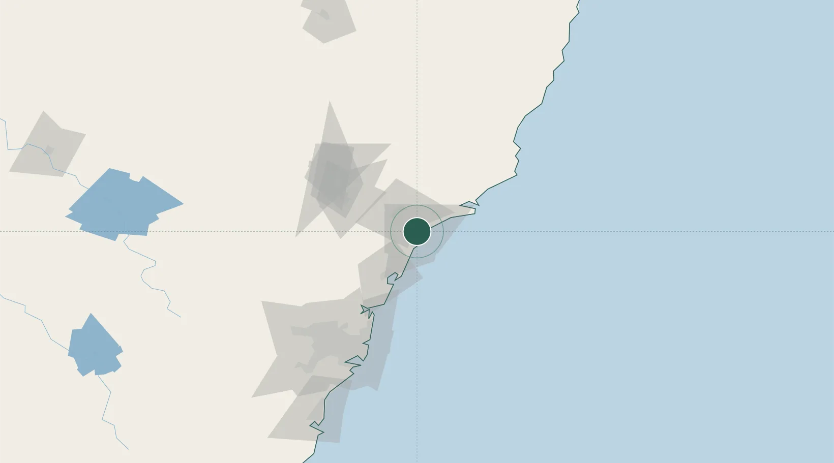
Nearby Logistics Neighbours

Cities
  1. 1Hamilton3 km
  2. 2Warabrook4 km
  3. 3Kotara4 km
  4. 4Sandgate6 km
  5. 5Newcastle7 km
Nearest neighbours — logibook spatial index (haversine) over the source coordinates
Ports
  1. 1Newcastle8 km
  2. 2Sydney115 km
  3. 3Botany Bay128 km
  4. 4Port Kembla189 km
  5. 5Jervis Bay258 km
Nearest neighbours — logibook spatial index (haversine) over the source coordinates
Airports
  1. 1Newcastle Airport18 km
  2. 2Palm Beach Seaplane Base82 km
  3. 3RAAF Base Richmond115 km
  4. 4Sydney Kingsford Smith International Airport124 km
  5. 5Sydney Bankstown Airport130 km
Nearest neighbours — logibook spatial index (haversine) over the source coordinates
Trade Zones
  1. 1Latrobe Valley Economic Growth Zone762 km
  2. 2Hicks Bay Area Special Economic Zone2447 km
  3. 3Vanuatu Economic Development Zone2485 km
  4. 4Paga Hill Estate Special Economic Zone2647 km
  5. 5Tulagi Island Special Economic Zone2786 km
Nearest neighbours — logibook spatial index (haversine) over the source coordinates
DatabookThe Record of Consolidated Knowledge
Australia beyond logistics?
Browse databook

All Sources

LocationsUN/LOCODE
UN/LOCODE — free
LocationsGeoNames
CC BY 4.0
Portsthe NGA World Port Index
Public domain (US gov)
AirportsOurAirports
Public domain
Trade Zonesthe World Bank SEZ database
CC BY 4.0
Trade ZonesOpen Zone Map
CC BY
← Australia locations