UN/LOCODE hub · Australia
AUWSN
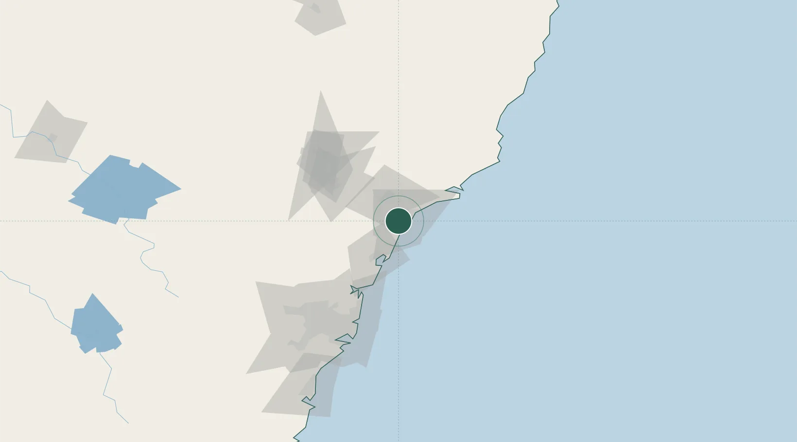
Warners Bay
-32.9667°, 151.6500°
7,504
Population
2
Transport functions
Transport Functions
Port
Road
Hub Profile
Place type
Urban district
Region
New South Wales
Population
7,504
Time zone
Australia/Sydney
Elevation
23 m
Location
Nearby Logistics Neighbours
Cities
- 1Kotara4 km
- 2Toronto6 km
- 3New Lambton7 km
- 4Hamilton10 km
- 5Warabrook10 km
Ports
- 1Newcastle14 km
- 2Sydney108 km
- 3Botany Bay121 km
- 4Port Kembla182 km
- 5Jervis Bay252 km
Airports
- 1Newcastle Airport26 km
- 2Palm Beach Seaplane Base75 km
- 3RAAF Base Richmond107 km
- 4Sydney Kingsford Smith International Airport117 km
- 5Sydney Bankstown Airport123 km
Trade Zones
DatabookThe Record of Consolidated Knowledge
Australia beyond logistics?