Medium airport · Australia

Inverell AirportYIVL
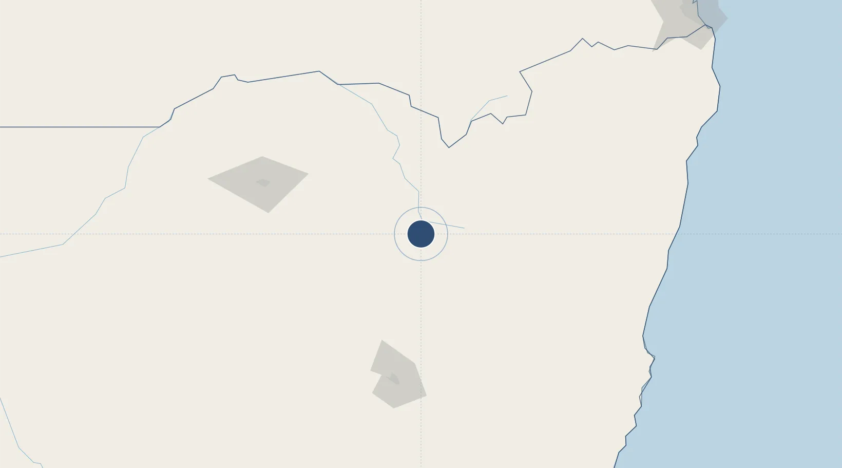
-29.8883°, 151.1440°
6,936 ft
Longest runway
2
Runways
2,667 ft
Elevation

Runway & Layout

Inverell Airport runway & taxiway layout
Runway & taxiway layout — OpenStreetMap (ODbL) / OurAirports

Radio Frequencies

CTAF
126.7 MHz
FSS
127.1 MHz
BRISBANE CNTR
OurAirports

Navaids

IVL NDB Inverell 260 kHz
OurAirports

Runways · 2

RunwayDimensions SurfaceTrue headingLit
16/34 6,936 × 98ft Asphalt 170°
04/22 2,297 × 60ft Grass 051°
OurAirports

Airport Specifications

IATA code
IVR
OurAirports
ICAO code
YIVL
OurAirports
Airport class
Medium airport
OurAirports
Scheduled service
No
OurAirports
Runway surface
Asphalt
OurAirports
Served city
Inverell
OurAirports

Location

Location of YIVL
Natural Earth 10m (public domain) · New South Wales · YIVL · -29.89, 151.14GoogleOSMYandex

Nearby Logistics Neighbours

Airports
  1. 1Glen Innes Airport58 km
  2. 2Armidale Airport84 km
  3. 3Moree Airport133 km
  4. 4Tamworth Airport135 km
  5. 5Narrabri Airport135 km
Nearest neighbours — logibook spatial index (haversine) over the source coordinates
Cities
  1. 1Sylvania Waters126 km
  2. 2Werris Creek170 km
  3. 3Burren Junction211 km
  4. 4Clontarf214 km
  5. 5Bobin231 km
Nearest neighbours — logibook spatial index (haversine) over the source coordinates
Ports
  1. 1Ballina261 km
  2. 2Brisbane326 km
  3. 3Newcastle342 km
  4. 4Sydney442 km
  5. 5Botany Bay457 km
Nearest neighbours — logibook spatial index (haversine) over the source coordinates
Trade Zones
  1. 1Latrobe Valley Economic Growth Zone1026 km
  2. 2Vanuatu Economic Development Zone2288 km
  3. 3Paga Hill Estate Special Economic Zone2307 km
  4. 4Tulagi Island Special Economic Zone2494 km
  5. 5Ihu Special Economic Zone2518 km
Nearest neighbours — logibook spatial index (haversine) over the source coordinates
DatabookThe Record of Consolidated Knowledge
Australia beyond logistics?
Browse databook

All Sources

AirportsOurAirports
Public domain
Portsthe NGA World Port Index
Public domain (US gov)
LocationsUN/LOCODE
UN/LOCODE — free
Trade Zonesthe World Bank SEZ database
CC BY 4.0
Trade ZonesOpen Zone Map
CC BY
InfrastructureOpenStreetMap
ODbL 1.0
← Australia airports