Small airport · Australia

Kubin Island AirportYKUB
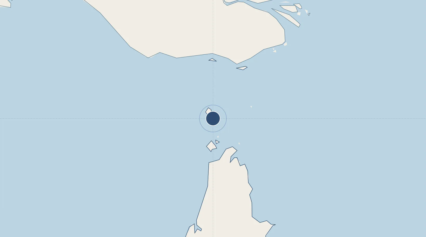
-10.2265°, 142.2196°
3,281 ft
Longest runway
1
Runways
15 ft
Elevation

Runway & Layout

Kubin Island Airport runway & taxiway layout
Runway & taxiway layout — OpenStreetMap (ODbL) / OurAirports

Radio Frequencies

CTAF
126.5 MHz
FSS
120.3 MHz
BRISBANE CNTR
OurAirports

Runways · 1

RunwayDimensions SurfaceTrue headingLit
11/29 3,281 × 60ft Permanent 113°
OurAirports

Airport Specifications

IATA code
KUG
OurAirports
ICAO code
YKUB
OurAirports
Airport class
Small airport
OurAirports
Scheduled service
Yes
OurAirports
Runway surface
Permanent
OurAirports
Served city
Kubin Island
OurAirports

Location

Location of YKUB
Natural Earth 10m (public domain) · Queensland · YKUB · -10.23, 142.22GoogleOSMYandex

Nearby Logistics Neighbours

Airports
  1. 1Badu Island Airport10 km
  2. 2Mabuiag Island Airport31 km
  3. 3Horn Island Airport41 km
  4. 4Warraber Island Airport66 km
  5. 5Yam Island Airport71 km
Nearest neighbours — logibook spatial index (haversine) over the source coordinates
Cities
  1. 1Booby Island53 km
  2. 2Saibai103 km
  3. 3Boigu Island107 km
  4. 4Dalrymple Islet137 km
  5. 5Skardon River171 km
Nearest neighbours — logibook spatial index (haversine) over the source coordinates
Ports
  1. 1Thursday Island40 km
  2. 2Daru168 km
  3. 3Weipa274 km
  4. 4Merauke280 km
  5. 5Kumul350 km
Nearest neighbours — logibook spatial index (haversine) over the source coordinates
Trade Zones
  1. 1Ihu Special Economic Zone434 km
  2. 2Western Province Special Economic Zone435 km
  3. 3Paga Hill Estate Special Economic Zone546 km
  4. 4Morobe Agricultural Special Economic Zone560 km
  5. 5Nadzab (Momase) Special Economic Zone645 km
Nearest neighbours — logibook spatial index (haversine) over the source coordinates
DatabookThe Record of Consolidated Knowledge
Australia beyond logistics?
Browse databook

All Sources

AirportsOurAirports
Public domain
Portsthe NGA World Port Index
Public domain (US gov)
LocationsUN/LOCODE
UN/LOCODE — free
Trade Zonesthe World Bank SEZ database
CC BY 4.0
Trade ZonesOpen Zone Map
CC BY
InfrastructureOpenStreetMap
ODbL 1.0
← Australia airports