Medium airport · Australia

Horn Island AirportYHID
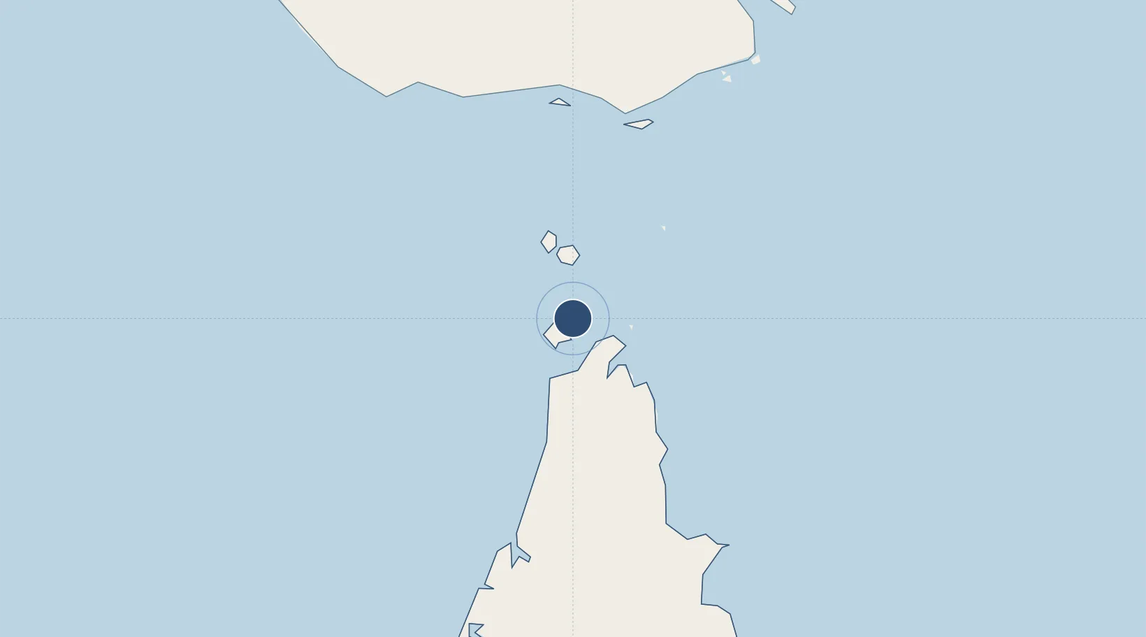
-10.5856°, 142.2928°
4,557 ft
Longest runway
2
Runways
43 ft
Elevation

Runway & Layout

Horn Island Airport runway & taxiway layout
Runway & taxiway layout — OpenStreetMap (ODbL) / OurAirports

Radio Frequencies

CTAF
126.5 MHz
FSS
120.3 MHz
BRISBANE CNTR
OurAirports

Navaids

HID NDB Horn Island 356 kHz
OurAirports

Runways · 2

RunwayDimensions SurfaceTrue headingLit
08/26 4,557 × 98ft Asphalt 085°
14/32 4,052 × 75ft Asphalt 140°
OurAirports

Airport Specifications

IATA code
HID
OurAirports
ICAO code
YHID
OurAirports
Airport class
Medium airport
OurAirports
Scheduled service
Yes
OurAirports
Runway surface
Asphalt
OurAirports
Served city
Horn
OurAirports

Location

Location of YHID
Natural Earth 10m (public domain) · Queensland · YHID · -10.59, 142.29GoogleOSMYandex

Nearby Logistics Neighbours

Airports
  1. 1Kubin Island Airport41 km
  2. 2Northern Peninsula Airport44 km
  3. 3Badu Island Airport50 km
  4. 4Mabuiag Island Airport72 km
  5. 5Warraber Island Airport72 km
Nearest neighbours — logibook spatial index (haversine) over the source coordinates
Cities
  1. 1Booby Island41 km
  2. 2Skardon River133 km
  3. 3Saibai138 km
  4. 4Boigu Island147 km
  5. 5Dalrymple Islet156 km
Nearest neighbours — logibook spatial index (haversine) over the source coordinates
Ports
  1. 1Thursday Island8 km
  2. 2Daru196 km
  3. 3Weipa236 km
  4. 4Merauke314 km
  5. 5Kumul372 km
Nearest neighbours — logibook spatial index (haversine) over the source coordinates
Trade Zones
  1. 1Ihu Special Economic Zone453 km
  2. 2Western Province Special Economic Zone474 km
  3. 3Paga Hill Estate Special Economic Zone545 km
  4. 4Morobe Agricultural Special Economic Zone584 km
  5. 5Nadzab (Momase) Special Economic Zone665 km
Nearest neighbours — logibook spatial index (haversine) over the source coordinates
DatabookThe Record of Consolidated Knowledge
Australia beyond logistics?
Browse databook

All Sources

AirportsOurAirports
Public domain
Portsthe NGA World Port Index
Public domain (US gov)
LocationsUN/LOCODE
UN/LOCODE — free
Trade Zonesthe World Bank SEZ database
CC BY 4.0
Trade ZonesOpen Zone Map
CC BY
InfrastructureOpenStreetMap
ODbL 1.0
← Australia airports