Transport Functions
Rail
Road
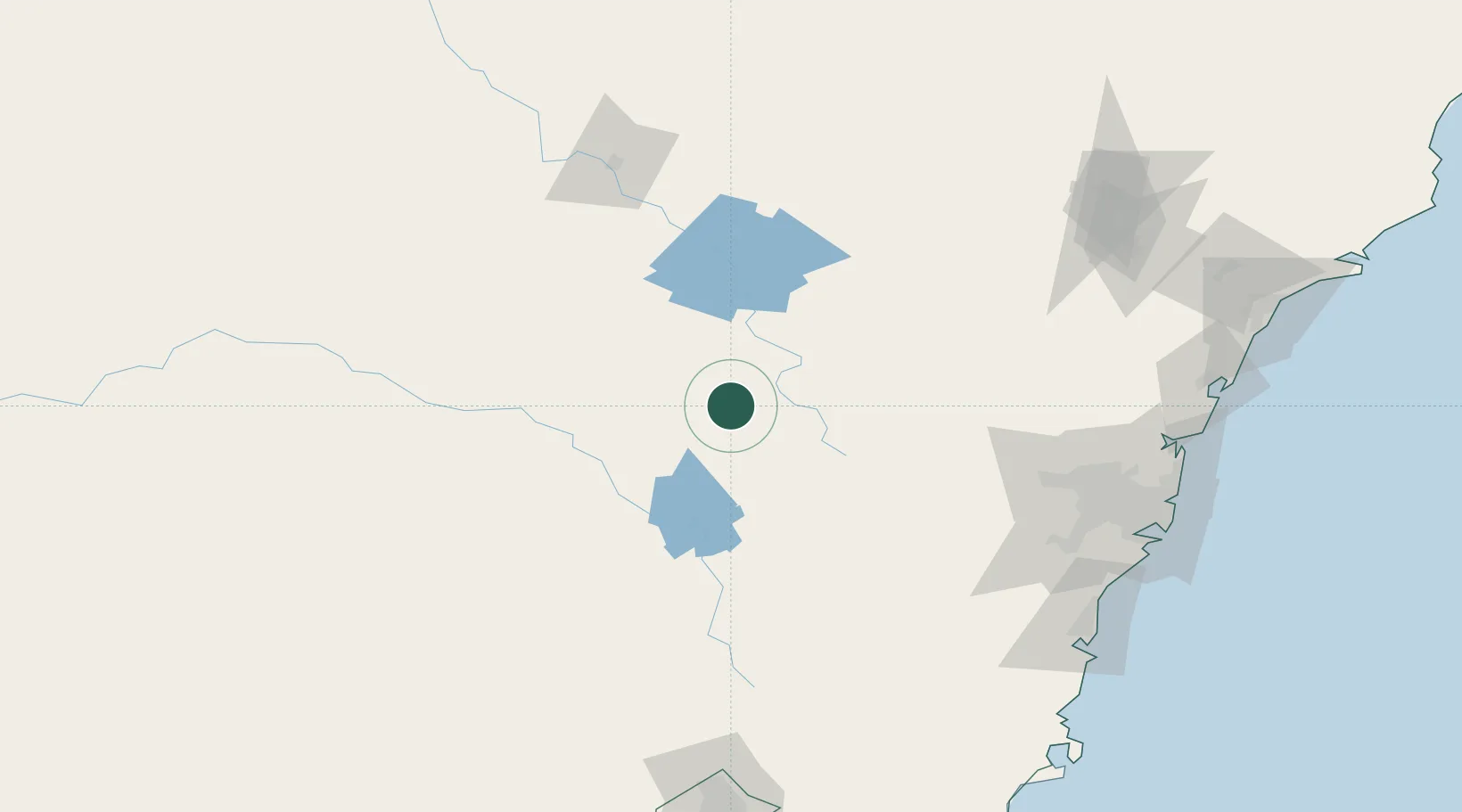
Hub Profile
Place type
Populated place
Region
New South Wales
Population
482
Time zone
Australia/Sydney
Elevation
946 m
Location
Nearby Logistics Neighbours
Cities
- 1Blayney17 km
- 2Kelso40 km
- 3Koorawatha91 km
- 4Lithgow92 km
- 5Bendick Murrell108 km
Ports
- 1Sydney195 km
- 2Port Kembla201 km
- 3Botany Bay203 km
- 4Jervis Bay243 km
- 5Newcastle249 km
Airports
- 1Orange Airport4 km
- 2Bathurst Airport45 km
- 3Cowra Airport69 km
- 4Parkes Airport91 km
- 5Mudgee Airport102 km
Trade Zones
DatabookThe Record of Consolidated Knowledge
Australia beyond logistics?