Medium airport · Australia
Orange AirportYORG
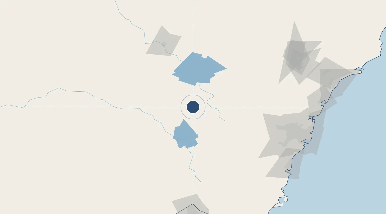
-33.3820°, 149.1313°
5,499 ft
Longest runway
2
Runways
3,115 ft
Elevation
Runway & Layout

Radio Frequencies
CTAF
119 MHz
FSS
135.25 MHz
MELBOURNE CNTR
Navaids
ORG NDB Orange 424 kHz
Runways · 2
| Runway | Dimensions | Surface | True heading | Lit |
|---|---|---|---|---|
| 11/29 | 5,499 × 98ft | Asphalt | 125° | ✓ |
| 04/22 | 2,559 × 98ft | Grass | 052° | — |
Airport Specifications
IATA code
OAG
ICAO code
YORG
Airport class
Medium airport
Scheduled service
No
Runway surface
Asphalt
Served city
Orange
Location
Nearby Logistics Neighbours
Airports
- 1Bathurst Airport48 km
- 2Cowra Airport68 km
- 3Parkes Airport88 km
- 4Mudgee Airport101 km
- 5Forbes Airport111 km
Cities
- 1Spring Hill4 km
- 2Blayney20 km
- 3Kelso44 km
- 4Koorawatha90 km
- 5Lithgow95 km
Ports
- 1Sydney199 km
- 2Port Kembla205 km
- 3Botany Bay206 km
- 4Jervis Bay246 km
- 5Newcastle252 km
Trade Zones
DatabookThe Record of Consolidated Knowledge
Australia beyond logistics?