Medium airport · Australia
Bathurst AirportYBTH
-33.4068°, 149.6512°
5,594 ft
Longest runway
2
Runways
2,435 ft
Elevation
Runway & Layout

Radio Frequencies
CTAF
127.35 MHz
FSS
135.25 MHz
MELBOURNE CNTR
Navaids
BTH NDB Bathurst 383 kHz
Runways · 2
| Runway | Dimensions | Surface | True heading | Lit |
|---|---|---|---|---|
| 17/35 | 5,594 × 98ft | Asphalt | 176° | ✓ |
| 08/26 | 4,314 × 98ft | Gravel | 091° | — |
Airport Specifications
IATA code
BHS
ICAO code
YBTH
Airport class
Medium airport
Scheduled service
Yes
Runway surface
Asphalt
Served city
Bathurst
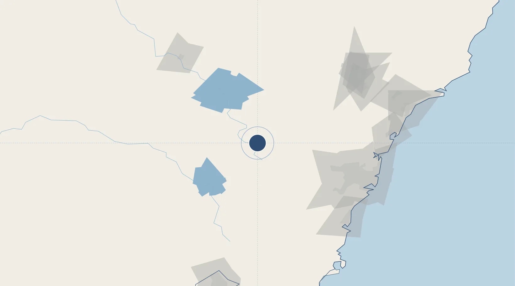
Location
Nearby Logistics Neighbours
Airports
- 1Orange Airport48 km
- 2Mudgee Airport94 km
- 3Cowra Airport105 km
- 4RAAF Base Richmond107 km
- 5Camden Airport119 km
Cities
- 1Kelso5 km
- 2Blayney40 km
- 3Spring Hill45 km
- 4Lithgow47 km
- 5Katoomba71 km
Ports
- 1Sydney152 km
- 2Botany Bay161 km
- 3Port Kembla167 km
- 4Newcastle206 km
- 5Jervis Bay218 km
Trade Zones
DatabookThe Record of Consolidated Knowledge
Australia beyond logistics?