Medium airport · Australia
Mudgee AirportYMDG
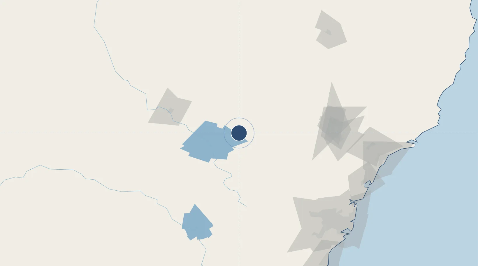
-32.5648°, 149.6095°
5,705 ft
Longest runway
2
Runways
1,545 ft
Elevation
Runway & Layout

Radio Frequencies
CTAF
126.7 MHz
FSS
133.05 MHz
BRISBANE CNTR
Navaids
MDG VOR Mudgee 112.20 MHz
MDG NDB Mudgee 398 kHz
Runways · 2
| Runway | Dimensions | Surface | True heading | Lit |
|---|---|---|---|---|
| 04/22 | 5,705 × 98ft | Asphalt | 052° | ✓ |
| 16/34 | 3,527 × 98ft | Grass | 171° | — |
Airport Specifications
IATA code
DGE
ICAO code
YMDG
Airport class
Medium airport
Scheduled service
No
Runway surface
Asphalt
Served city
Mudgee
Location
Nearby Logistics Neighbours
Airports
- 1Bathurst Airport94 km
- 2Orange Airport101 km
- 3Dubbo City Regional Airport105 km
- 4Narromine Airport136 km
- 5Coonabarabran Airport141 km
Cities
- 1Dunedoo64 km
- 2Baerami84 km
- 3Kelso95 km
- 4Spring Hill102 km
- 5Blayney113 km
Ports
- 1Sydney207 km
- 2Newcastle207 km
- 3Botany Bay220 km
- 4Port Kembla245 km
- 5Jervis Bay304 km
Trade Zones
DatabookThe Record of Consolidated Knowledge
Australia beyond logistics?