Medium airport · Australia
Cowra AirportYCWR
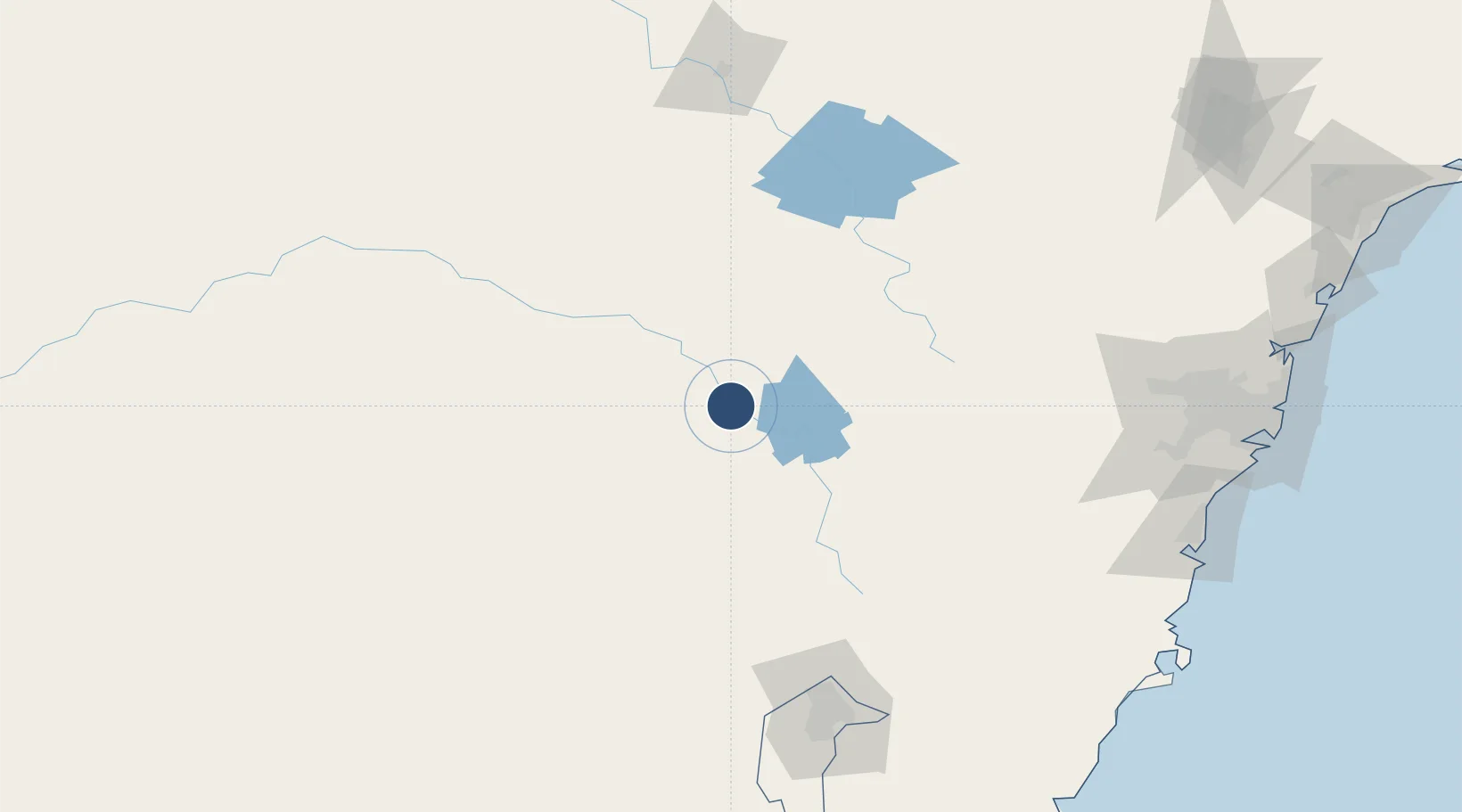
-33.8469°, 148.6480°
5,348 ft
Longest runway
2
Runways
966 ft
Elevation
Runway & Layout

Radio Frequencies
CTAF
126.7 MHz
FSS
135.25 MHz
MELBOURNE CNTR
Navaids
CWR VOR Cowra 112.40 MHz
CWR NDB Cowra 299 kHz
Runways · 2
| Runway | Dimensions | Surface | True heading | Lit |
|---|---|---|---|---|
| 15/33 | 5,348 × 98ft | Asphalt | 162° | ✓ |
| 03/21 | 3,825 × 60ft | Graded earth | 041° | — |
Airport Specifications
IATA code
CWT
ICAO code
YCWR
Airport class
Medium airport
Scheduled service
No
Runway surface
Asphalt
Location
Nearby Logistics Neighbours
Airports
- 1Young Airport59 km
- 2Orange Airport68 km
- 3Forbes Airport85 km
- 4Parkes Airport88 km
- 5Cootamundra Airport103 km
Cities
- 1Koorawatha23 km
- 2Bendick Murrell40 km
- 3Blayney66 km
- 4Spring Hill69 km
- 5Wondalga77 km
Ports
- 1Port Kembla220 km
- 2Sydney236 km
- 3Botany Bay239 km
- 4Jervis Bay243 km
- 5Batemans Bay248 km
Trade Zones
DatabookThe Record of Consolidated Knowledge
Australia beyond logistics?