UN/LOCODE hub · Australia
AUKWA

Koorawatha

-34.0333°, 148.5500°
423
Population
2
Transport functions

Transport Functions

Rail
Road
UN/LOCODE

Hub Profile

Place type
Populated place
GeoNames
Region
New South Wales
GeoNames
Population
423
GeoNames
Time zone
Australia/Sydney
GeoNames
Elevation
342 m
GeoNames

Location

Location of AUKWA
Natural Earth 10m (public domain) · New South Wales · AUKWA · -34.03, 148.55GoogleOSMYandex

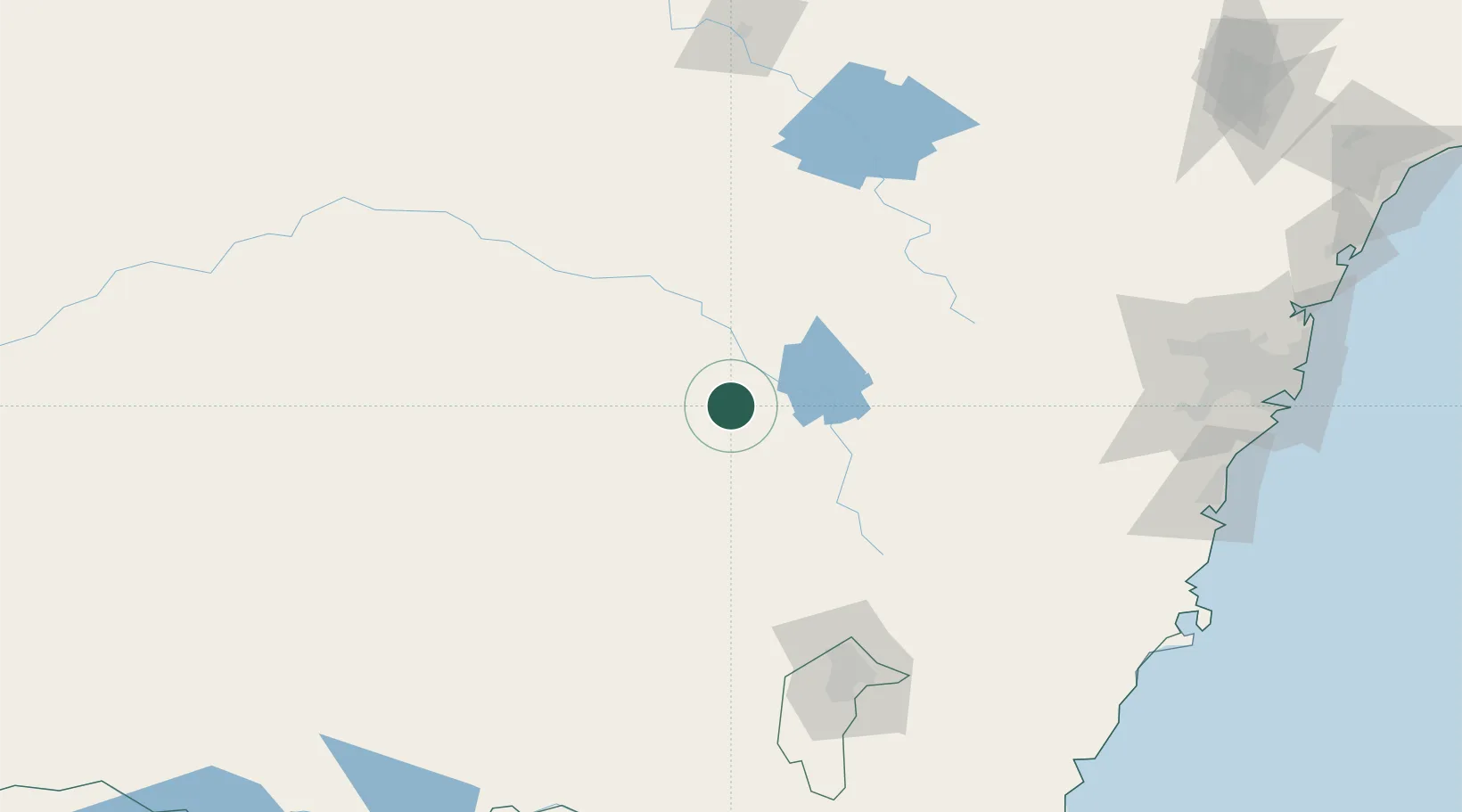
Nearby Logistics Neighbours

Cities
  1. 1Bendick Murrell18 km
  2. 2Wondalga55 km
  3. 3Harden60 km
  4. 4Galong63 km
  5. 5Wallendbeen66 km
Nearest neighbours — logibook spatial index (haversine) over the source coordinates
Ports
  1. 1Port Kembla223 km
  2. 2Batemans Bay237 km
  3. 3Jervis Bay239 km
  4. 4Sydney245 km
  5. 5Botany Bay247 km
Nearest neighbours — logibook spatial index (haversine) over the source coordinates
Airports
  1. 1Cowra Airport23 km
  2. 2Young Airport37 km
  3. 3Cootamundra Airport81 km
  4. 4Orange Airport90 km
  5. 5Forbes Airport94 km
Nearest neighbours — logibook spatial index (haversine) over the source coordinates
Trade Zones
  1. 1Latrobe Valley Economic Growth Zone506 km
  2. 2Hicks Bay Area Special Economic Zone2686 km
  3. 3Paga Hill Estate Special Economic Zone2734 km
  4. 4Vanuatu Economic Development Zone2779 km
  5. 5Ihu Special Economic Zone2924 km
Nearest neighbours — logibook spatial index (haversine) over the source coordinates
DatabookThe Record of Consolidated Knowledge
Australia beyond logistics?
Browse databook

All Sources

LocationsUN/LOCODE
UN/LOCODE — free
LocationsGeoNames
CC BY 4.0
Portsthe NGA World Port Index
Public domain (US gov)
AirportsOurAirports
Public domain
Trade Zonesthe World Bank SEZ database
CC BY 4.0
Trade ZonesOpen Zone Map
CC BY
← Australia locations