Transport Functions
Port
Rail
Road
Multimodal
Hub Profile
Place type
Populated place
Region
New South Wales
Population
3,355
Time zone
Australia/Sydney
Elevation
870 m
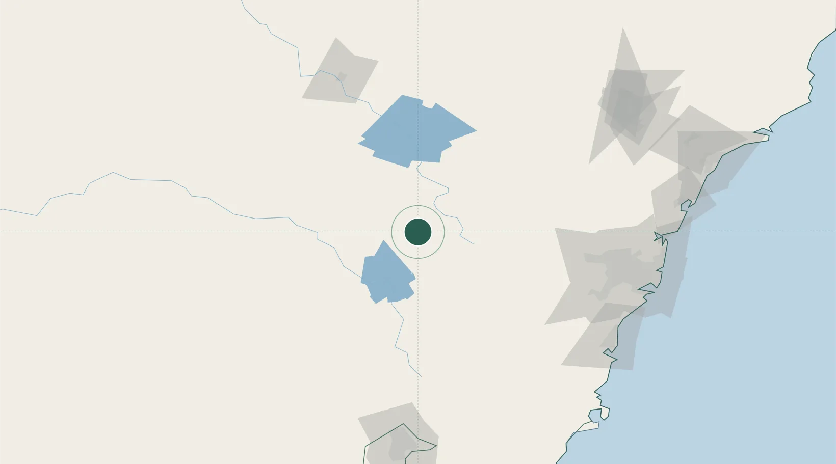
Location
Nearby Logistics Neighbours
Cities
- 1Spring Hill17 km
- 2Kelso35 km
- 3Lithgow84 km
- 4Koorawatha85 km
- 5Katoomba101 km
Ports
- 1Sydney184 km
- 2Port Kembla186 km
- 3Botany Bay191 km
- 4Jervis Bay226 km
- 5Newcastle245 km
Airports
- 1Orange Airport20 km
- 2Bathurst Airport40 km
- 3Cowra Airport66 km
- 4Parkes Airport104 km
- 5Mudgee Airport113 km
Trade Zones
DatabookThe Record of Consolidated Knowledge
Australia beyond logistics?