UN/LOCODE hub · Australia
AUBMU
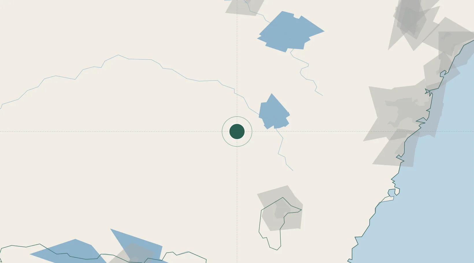
Bendick Murrell
-34.1667°, 148.4500°
163
Population
2
Transport functions
Transport Functions
Rail
Road
Hub Profile
Place type
Populated place
Region
New South Wales
Population
163
Time zone
Australia/Sydney
Elevation
384 m
Location
Nearby Logistics Neighbours
Cities
- 1Koorawatha18 km
- 2Wondalga38 km
- 3Harden43 km
- 4Wallendbeen48 km
- 5Galong49 km
Ports
- 1Port Kembla229 km
- 2Batemans Bay231 km
- 3Jervis Bay240 km
- 4Sydney256 km
- 5Botany Bay257 km
Airports
- 1Young Airport21 km
- 2Cowra Airport40 km
- 3Cootamundra Airport64 km
- 4Temora Airport91 km
- 5Forbes Airport101 km
Trade Zones
DatabookThe Record of Consolidated Knowledge
Australia beyond logistics?