Transport Functions
Rail
Road
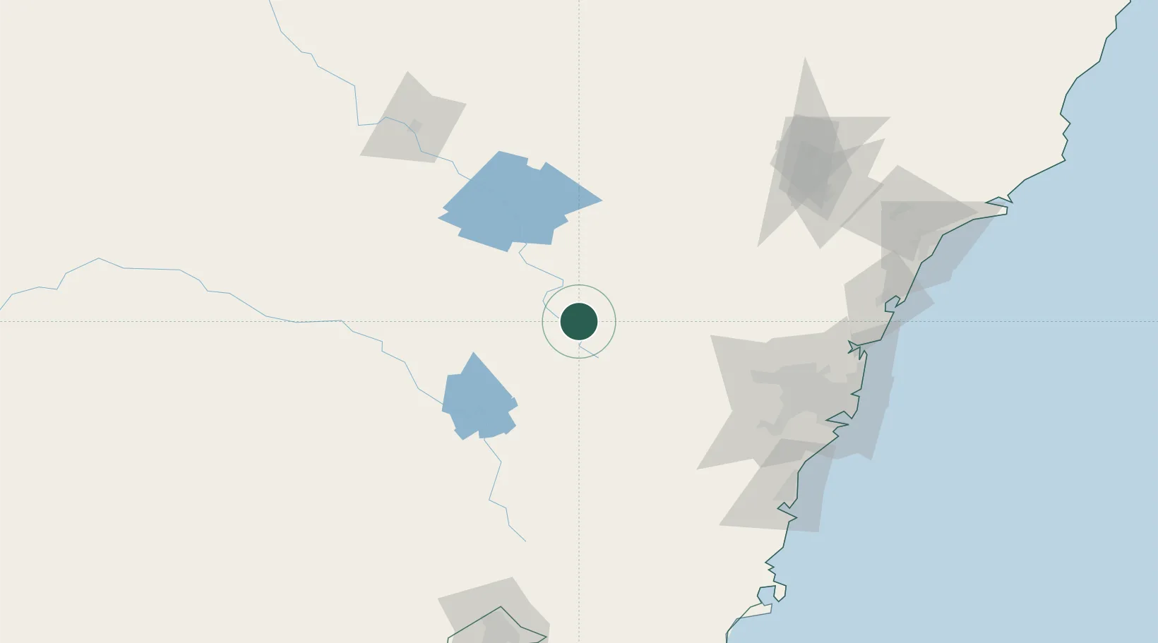
Hub Profile
Place type
Populated place
Region
New South Wales
Population
8,798
Time zone
Australia/Sydney
Elevation
649 m
Location
Nearby Logistics Neighbours
Cities
- 1Blayney35 km
- 2Spring Hill40 km
- 3Lithgow52 km
- 4Katoomba74 km
- 5Castlereagh104 km
Ports
- 1Sydney156 km
- 2Botany Bay164 km
- 3Port Kembla170 km
- 4Newcastle211 km
- 5Jervis Bay219 km
Airports
- 1Bathurst Airport5 km
- 2Orange Airport44 km
- 3Mudgee Airport95 km
- 4Cowra Airport100 km
- 5RAAF Base Richmond112 km
Trade Zones
DatabookThe Record of Consolidated Knowledge
Australia beyond logistics?