Transport Functions
Rail
Road
Hub Profile
Place type
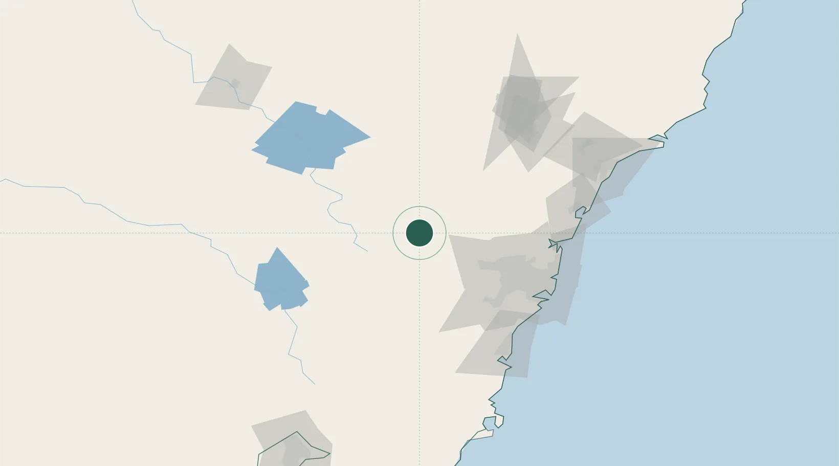
Populated place
Region
New South Wales
Population
5,125
Time zone
Australia/Sydney
Elevation
916 m
Location
Nearby Logistics Neighbours
Cities
- 1Katoomba30 km
- 2Kelso52 km
- 3Castlereagh53 km
- 4Emu Plains56 km
- 5South Windsor62 km
Ports
- 1Sydney106 km
- 2Botany Bay116 km
- 3Port Kembla132 km
- 4Newcastle165 km
- 5Jervis Bay191 km
Airports
- 1Bathurst Airport47 km
- 2RAAF Base Richmond60 km
- 3Camden Airport79 km
- 4Sydney Bankstown Airport92 km
- 5Orange Airport95 km
Trade Zones
DatabookThe Record of Consolidated Knowledge
Australia beyond logistics?