Transport Functions
Multimodal
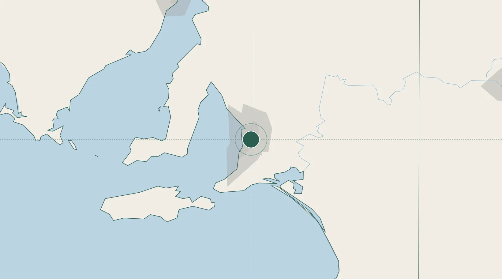
Hub Profile
Place type
Urban district
Region
South Australia
Population
1,421
Time zone
Australia/Adelaide
Elevation
106 m
Location
Nearby Logistics Neighbours
Cities
- 1Rose Park2 km
- 2Malvern4 km
- 3Gilberton5 km
- 4Hectorville6 km
- 5Westbourne Park6 km
Ports
- 1Port Adelaide15 km
- 2Klein Point79 km
- 3Port Giles80 km
- 4Ardrossan86 km
- 5Kingscote120 km
Airports
- 1Adelaide International Airport9 km
- 2RAAF Base Edinburgh25 km
- 3Kingscote Airport133 km
- 4Port Pirie Airport197 km
- 5Renmark Airport204 km
DatabookThe Record of Consolidated Knowledge
Australia beyond logistics?