UN/LOCODE hub · Australia
AUSWP
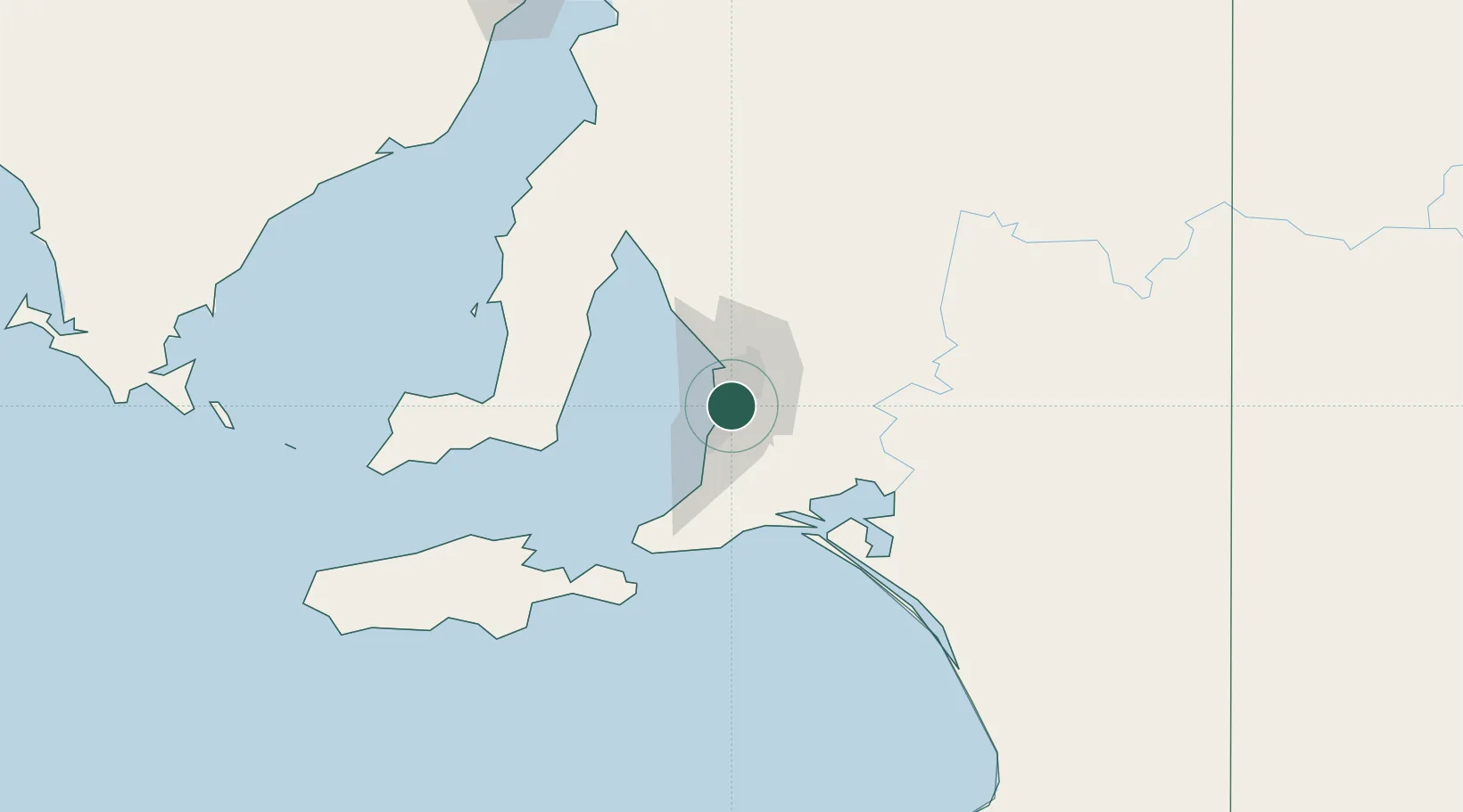
Westbourne Park
-34.9667°, 138.5833°
2,492
Population
1
Transport functions
Transport Functions
Multimodal
Hub Profile
Place type
Urban district
Region
South Australia
Population
2,492
Time zone
Australia/Adelaide
Elevation
55 m
Location
Nearby Logistics Neighbours
Cities
- 1Edwardstown2 km
- 2Malvern2 km
- 3Blackwood6 km
- 4Tusmore6 km
- 5Cowandilla6 km
Ports
- 1Port Adelaide15 km
- 2Klein Point74 km
- 3Port Giles75 km
- 4Ardrossan85 km
- 5Kingscote114 km
Airports
- 1Adelaide International Airport5 km
- 2RAAF Base Edinburgh29 km
- 3Kingscote Airport127 km
- 4Port Pirie Airport200 km
- 5Renmark Airport210 km
DatabookThe Record of Consolidated Knowledge
Australia beyond logistics?