Transport Functions
Multimodal
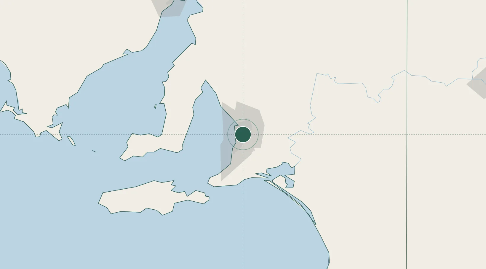
Hub Profile
Place type
Urban district
Region
South Australia
Population
1,351
Time zone
Australia/Adelaide
Elevation
65 m
Location
Nearby Logistics Neighbours
Cities
- 1Tusmore2 km
- 2Gilberton2 km
- 3Malvern4 km
- 4Hectorville5 km
- 5Hindmarsh5 km
Ports
- 1Port Adelaide13 km
- 2Klein Point78 km
- 3Port Giles79 km
- 4Ardrossan84 km
- 5Kingscote120 km
Airports
- 1Adelaide International Airport8 km
- 2RAAF Base Edinburgh24 km
- 3Kingscote Airport133 km
- 4Port Pirie Airport195 km
- 5Renmark Airport205 km
DatabookThe Record of Consolidated Knowledge
Australia beyond logistics?