UN/LOCODE hub · Australia
AULLE
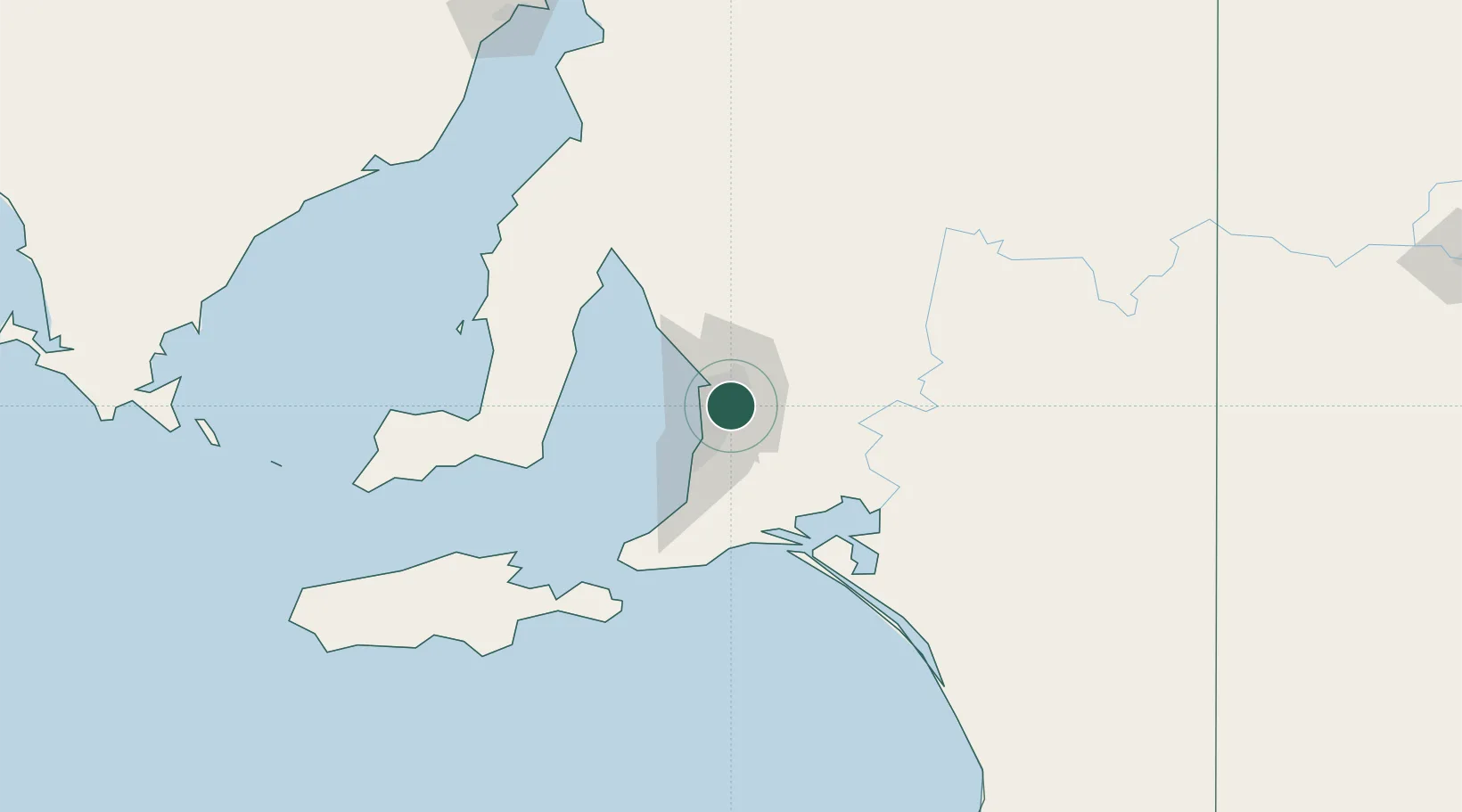
Hectorville
-34.8833°, 138.6500°
3,661
Population
1
Transport functions
Transport Functions
Multimodal
Hub Profile
Place type
Urban district
Region
South Australia
Population
3,661
Time zone
Australia/Adelaide
Elevation
71 m
Location
Nearby Logistics Neighbours
Cities
- 1Klemzig2 km
- 2Rose Park5 km
- 3Gilberton5 km
- 4Tusmore6 km
- 5Ingle Farm6 km
Ports
- 1Port Adelaide14 km
- 2Klein Point81 km
- 3Port Giles82 km
- 4Ardrossan84 km
- 5Kingscote124 km
Airports
- 1Adelaide International Airport13 km
- 2RAAF Base Edinburgh20 km
- 3Kingscote Airport138 km
- 4Port Pirie Airport193 km
- 5Renmark Airport201 km
DatabookThe Record of Consolidated Knowledge
Australia beyond logistics?