Transport Functions
Multimodal
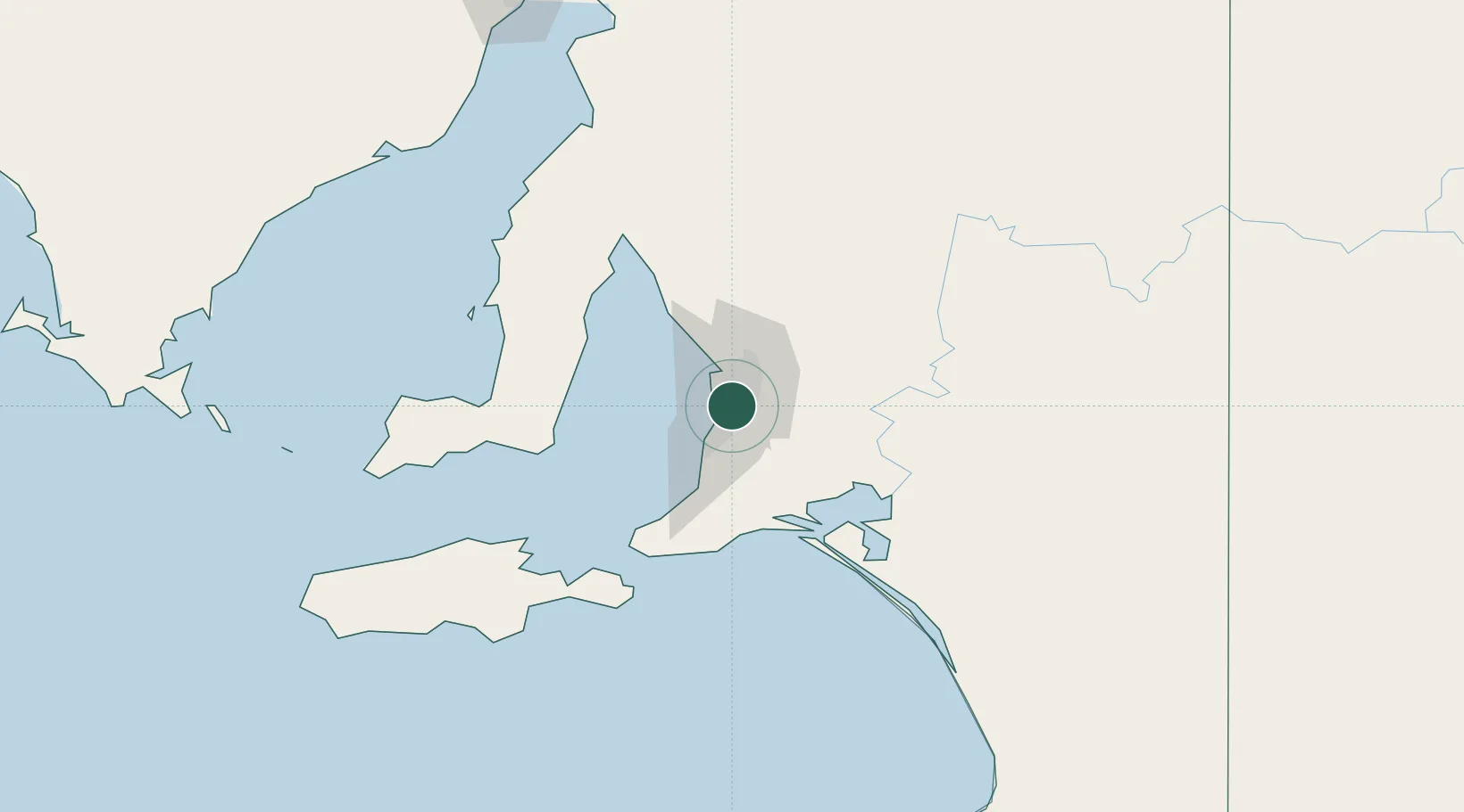
Hub Profile
Place type
Urban district
Region
South Australia
Population
2,519
Time zone
Australia/Adelaide
Elevation
62 m
Location
Nearby Logistics Neighbours
Cities
- 1Westbourne Park2 km
- 2Edwardstown4 km
- 3Tusmore4 km
- 4Rose Park4 km
- 5Gilberton6 km
Ports
- 1Port Adelaide14 km
- 2Klein Point76 km
- 3Port Giles77 km
- 4Ardrossan85 km
- 5Kingscote116 km
Airports
- 1Adelaide International Airport6 km
- 2RAAF Base Edinburgh27 km
- 3Kingscote Airport130 km
- 4Port Pirie Airport198 km
- 5Renmark Airport208 km
DatabookThe Record of Consolidated Knowledge
Australia beyond logistics?