UN/LOCODE hub · Australia
AUGTN

Gilberton

-34.9000°, 138.6000°
1,442
Population
1
Transport functions

Transport Functions

Multimodal
UN/LOCODE

Hub Profile

Place type
Urban district
GeoNames
Region
South Australia
GeoNames
Population
1,442
GeoNames
Time zone
Australia/Adelaide
GeoNames
Elevation
42 m
GeoNames

Location

Location of AUGTN
Natural Earth 10m (public domain) · South Australia · AUGTN · -34.90, 138.60GoogleOSMYandex

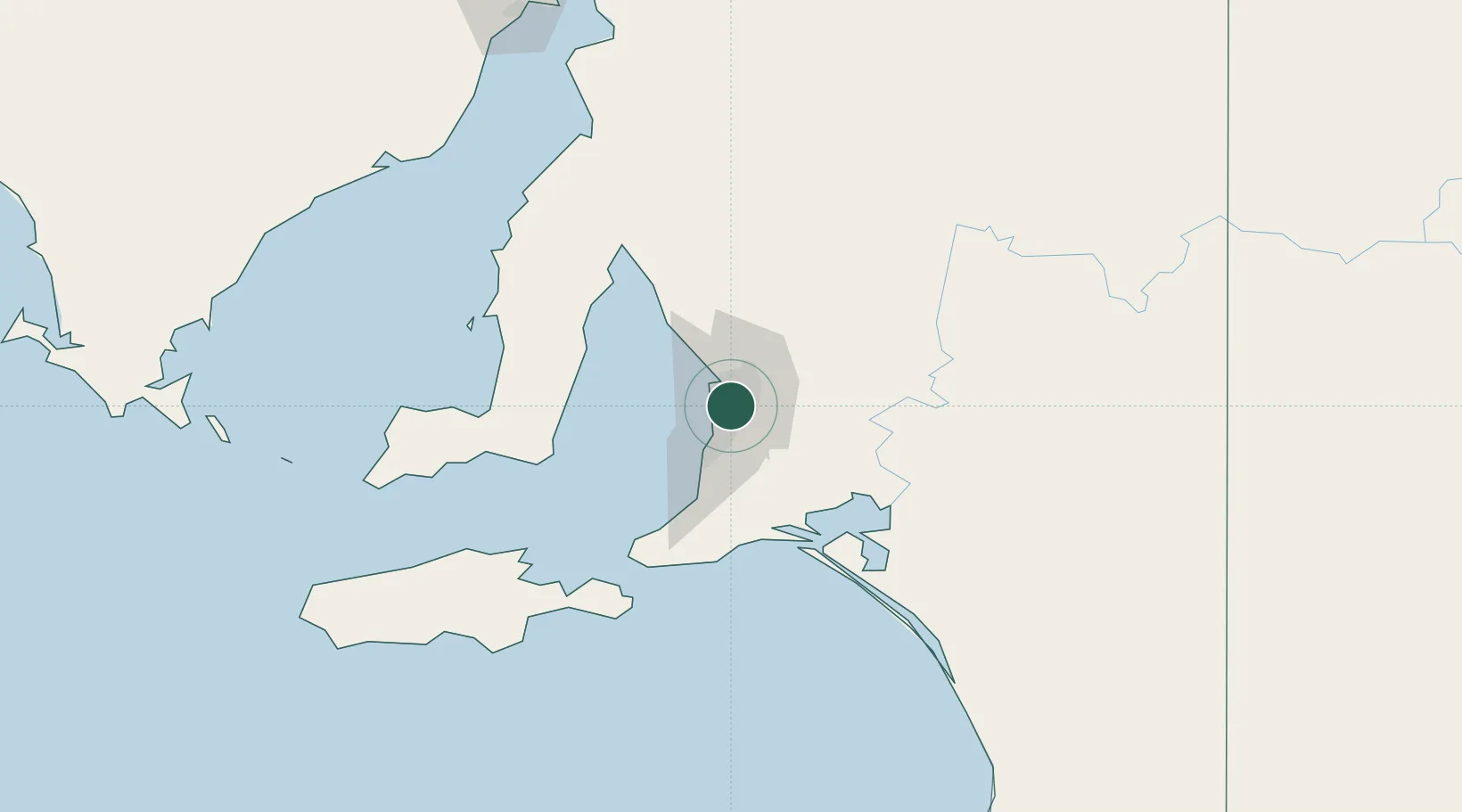
Nearby Logistics Neighbours

Cities
  1. 1Rose Park2 km
  2. 2Hindmarsh3 km
  3. 3Tusmore5 km
  4. 4Klemzig5 km
  5. 5Regency Park5 km
Nearest neighbours — logibook spatial index (haversine) over the source coordinates
Ports
  1. 1Port Adelaide11 km
  2. 2Klein Point76 km
  3. 3Port Giles77 km
  4. 4Ardrossan81 km
  5. 5Kingscote120 km
Nearest neighbours — logibook spatial index (haversine) over the source coordinates
Airports
  1. 1Adelaide International Airport8 km
  2. 2RAAF Base Edinburgh22 km
  3. 3Kingscote Airport133 km
  4. 4Port Pirie Airport193 km
  5. 5Renmark Airport205 km
Nearest neighbours — logibook spatial index (haversine) over the source coordinates
DatabookThe Record of Consolidated Knowledge
Australia beyond logistics?
Browse databook

All Sources

LocationsUN/LOCODE
UN/LOCODE — free
LocationsGeoNames
CC BY 4.0
Portsthe NGA World Port Index
Public domain (US gov)
AirportsOurAirports
Public domain
Trade Zonesthe World Bank SEZ database
CC BY 4.0
Trade ZonesOpen Zone Map
CC BY
← Australia locations