Medium airport · Australia

Blackwater AirportYBTR
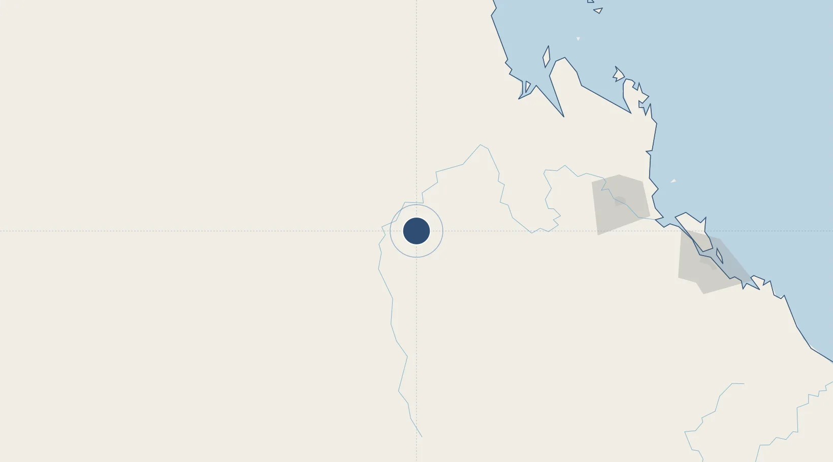
-23.6031°, 148.8070°
5,023 ft
Longest runway
1
Runways
657 ft
Elevation

Runway & Layout

Blackwater Airport runway & taxiway layout
Runway & taxiway layout — OpenStreetMap (ODbL) / OurAirports

Radio Frequencies

CTAF
126.7 MHz
FSS
122.3 MHz
BRISBANE CNTR
OurAirports

Runways · 1

RunwayDimensions SurfaceTrue headingLit
18/36 5,023 × 98ft Asphalt 187°
OurAirports

Airport Specifications

IATA code
BLT
OurAirports
ICAO code
YBTR
OurAirports
Airport class
Medium airport
OurAirports
Scheduled service
No
OurAirports
Runway surface
Asphalt
OurAirports

Location

Location of YBTR
Natural Earth 10m (public domain) · Queensland · YBTR · -23.60, 148.81GoogleOSMYandex

Nearby Logistics Neighbours

Airports
  1. 1Emerald Airport64 km
  2. 2Dysart Airport118 km
  3. 3Clermont Airport152 km
  4. 4Rockhampton Airport172 km
  5. 5Moranbah Airport187 km
Nearest neighbours — logibook spatial index (haversine) over the source coordinates
Cities
  1. 1Gracemere169 km
  2. 2Rosslyn Bay208 km
  3. 3Port Alma209 km
  4. 4Gladstone251 km
  5. 5South Trees254 km
Nearest neighbours — logibook spatial index (haversine) over the source coordinates
Ports
  1. 1Port Alma208 km
  2. 2Gladstone250 km
  3. 3Hay Point263 km
  4. 4Mackay280 km
  5. 5Bundaberg386 km
Nearest neighbours — logibook spatial index (haversine) over the source coordinates
Trade Zones
  1. 1Paga Hill Estate Special Economic Zone1580 km
  2. 2Latrobe Valley Economic Growth Zone1643 km
  3. 3Ihu Special Economic Zone1784 km
  4. 4Ledger Atlas Special Economic Zone1894 km
  5. 5Nadzab (Momase) Special Economic Zone1903 km
Nearest neighbours — logibook spatial index (haversine) over the source coordinates
DatabookThe Record of Consolidated Knowledge
Australia beyond logistics?
Browse databook

All Sources

AirportsOurAirports
Public domain
Portsthe NGA World Port Index
Public domain (US gov)
LocationsUN/LOCODE
UN/LOCODE — free
Trade Zonesthe World Bank SEZ database
CC BY 4.0
Trade ZonesOpen Zone Map
CC BY
InfrastructureOpenStreetMap
ODbL 1.0
← Australia airports