Transport Functions
Port
Multimodal
Hub Profile
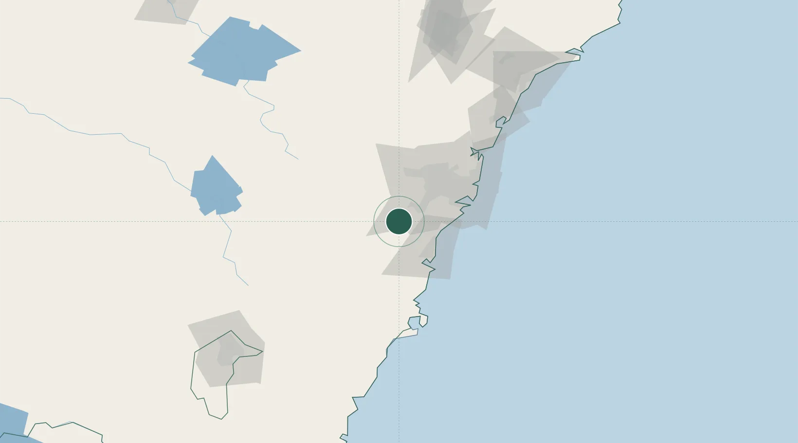
Place type
Populated place
Region
New South Wales
Population
4,737
Time zone
Australia/Sydney
Elevation
161 m
Location
Nearby Logistics Neighbours
Ports
- 1Port Kembla44 km
- 2Botany Bay62 km
- 3Sydney66 km
- 4Jervis Bay105 km
- 5Batemans Bay173 km
Airports
- 1Camden Airport18 km
- 2Shellharbour Airport45 km
- 3Sydney Bankstown Airport46 km
- 4Sydney Kingsford Smith International Airport59 km
- 5RAAF Base Richmond67 km
Trade Zones
DatabookThe Record of Consolidated Knowledge
Australia beyond logistics?