Transport Functions
Multimodal
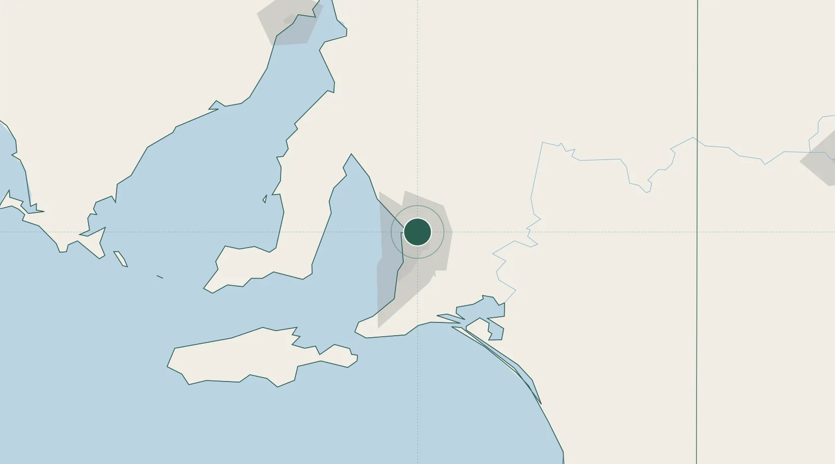
Hub Profile
Place type
Urban district
Region
South Australia
Population
131
Time zone
Australia/Adelaide
Elevation
21 m
Location
Nearby Logistics Neighbours
Cities
- 1Green Fields3 km
- 2Ingle Farm6 km
- 3Modbury7 km
- 4Adelaide8 km
- 5Elizabeth8 km
Ports
- 1Port Adelaide14 km
- 2Ardrossan76 km
- 3Klein Point82 km
- 4Port Giles84 km
- 5Kingscote131 km
Airports
- 1RAAF Base Edinburgh9 km
- 2Adelaide International Airport20 km
- 3Kingscote Airport145 km
- 4Port Pirie Airport182 km
- 5Renmark Airport198 km
DatabookThe Record of Consolidated Knowledge
Australia beyond logistics?