UN/LOCODE hub · Australia
AUADL
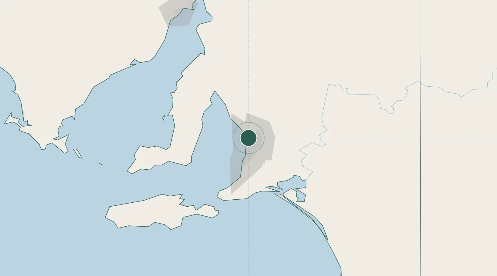
Adelaide
-34.7912°, 138.5522°
1,469,163
Population
5
Transport functions
1
Container terminals
Transport Functions
Port
Rail
Road
Airport
Postal
Hub Profile
Place type
Regional capital
Region
South Australia
Population
1,469,163
Time zone
Australia/Adelaide
Elevation
59 m
Logistics facilities
46
Container terminals
1
Location
Nearby Logistics Neighbours
Cities
- 1Green Fields4 km
- 2Ottoway5 km
- 3Outer Harbour6 km
- 4Outer Harbor6 km
- 5Port Adelaide6 km
Ports
- 1Port Adelaide8 km
- 2Ardrossan71 km
- 3Klein Point74 km
- 4Port Giles77 km
- 5Kingscote125 km
Airports
- 1RAAF Base Edinburgh11 km
- 2Adelaide International Airport18 km
- 3Kingscote Airport139 km
- 4Port Pirie Airport180 km
- 5Renmark Airport205 km
DatabookThe Record of Consolidated Knowledge
Australia beyond logistics?