UN/LOCODE hub · Australia
AUGFS

Green Fields

-34.7833°, 138.6000°
150
Population
1
Transport functions

Transport Functions

Multimodal
UN/LOCODE

Hub Profile

Place type
Urban district
GeoNames
Region
South Australia
GeoNames
Population
150
GeoNames
Time zone
Australia/Adelaide
GeoNames
Elevation
13 m
GeoNames

Location

Location of AUGFS
Natural Earth 10m (public domain) · South Australia · AUGFS · -34.78, 138.60GoogleOSMYandex

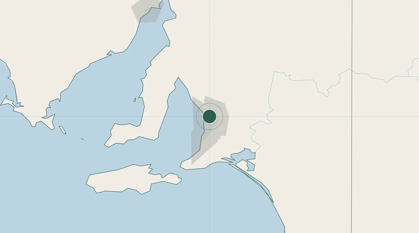
Nearby Logistics Neighbours

Cities
  1. 1Parafield3 km
  2. 2Adelaide4 km
  3. 3Ingle Farm6 km
  4. 4Ottoway8 km
  5. 5Elizabeth9 km
Nearest neighbours — logibook spatial index (haversine) over the source coordinates
Ports
  1. 1Port Adelaide12 km
  2. 2Ardrossan74 km
  3. 3Klein Point79 km
  4. 4Port Giles81 km
  5. 5Kingscote129 km
Nearest neighbours — logibook spatial index (haversine) over the source coordinates
Airports
  1. 1RAAF Base Edinburgh9 km
  2. 2Adelaide International Airport19 km
  3. 3Kingscote Airport143 km
  4. 4Port Pirie Airport181 km
  5. 5Renmark Airport201 km
Nearest neighbours — logibook spatial index (haversine) over the source coordinates
DatabookThe Record of Consolidated Knowledge
Australia beyond logistics?
Browse databook

All Sources

LocationsUN/LOCODE
UN/LOCODE — free
LocationsGeoNames
CC BY 4.0
Portsthe NGA World Port Index
Public domain (US gov)
AirportsOurAirports
Public domain
Trade Zonesthe World Bank SEZ database
CC BY 4.0
Trade ZonesOpen Zone Map
CC BY
← Australia locations