Transport Functions
Rail
Road
Multimodal
Hub Profile
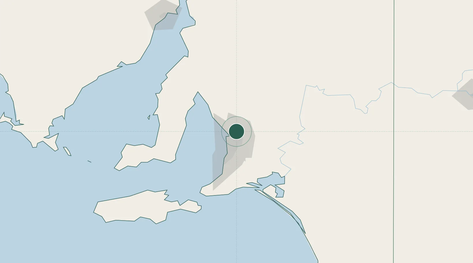
Place type
Populated place
Region
South Australia
Population
993
Time zone
Australia/Adelaide
Elevation
74 m
Location
Nearby Logistics Neighbours
Cities
- 1Parafield8 km
- 2Green Fields9 km
- 3Virginia11 km
- 4Adelaide12 km
- 5Ingle Farm13 km
Ports
- 1Port Adelaide20 km
- 2Ardrossan74 km
- 3Klein Point85 km
- 4Port Giles88 km
- 5Wallaroo129 km
Airports
- 1RAAF Base Edinburgh3 km
- 2Adelaide International Airport28 km
- 3Kingscote Airport151 km
- 4Port Pirie Airport175 km
- 5Renmark Airport194 km
DatabookThe Record of Consolidated Knowledge
Australia beyond logistics?