Transport Functions
Road
Multimodal
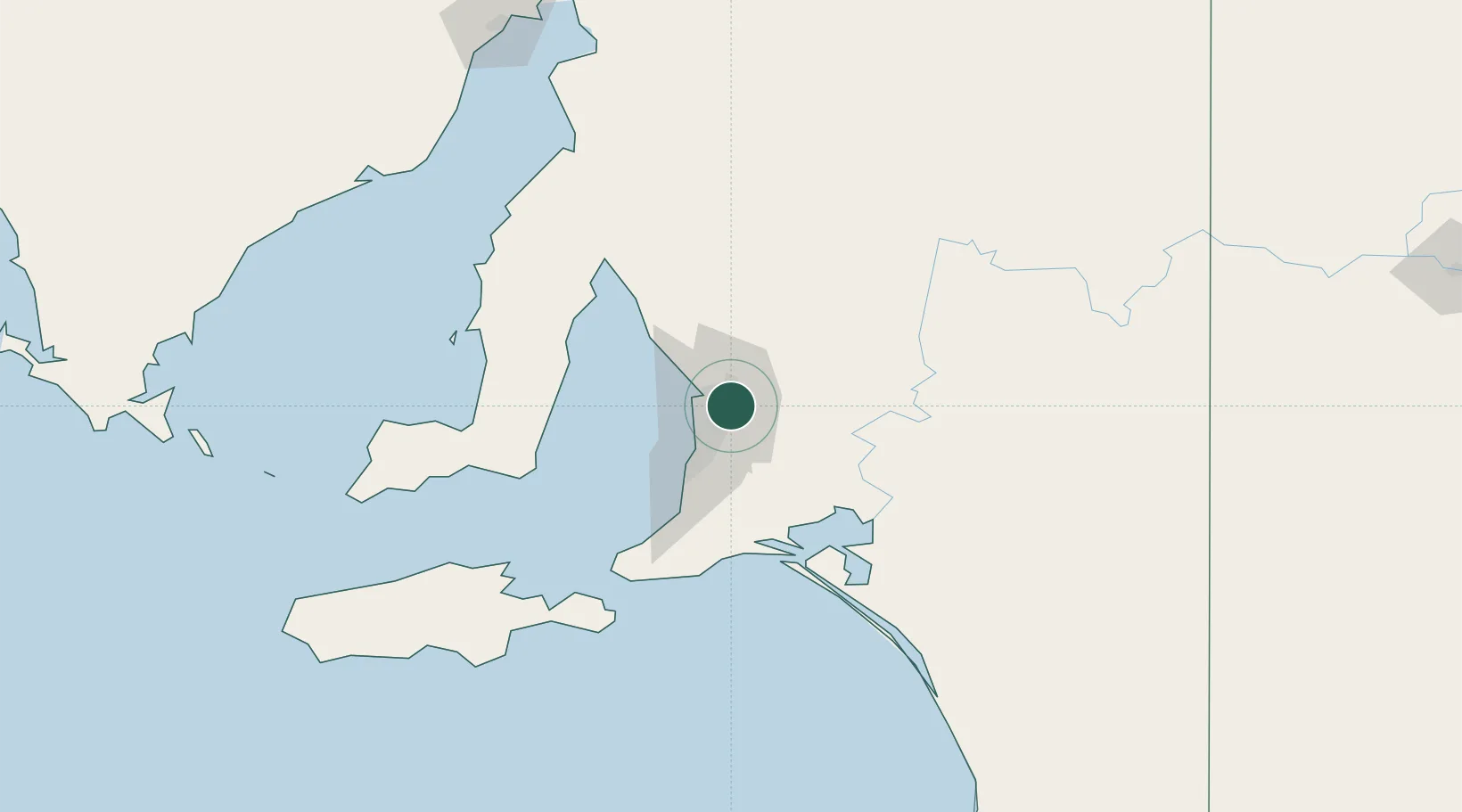
Hub Profile
Place type
Urban district
Region
South Australia
Population
5,306
Time zone
Australia/Adelaide
Elevation
109 m
Location
Nearby Logistics Neighbours
Cities
- 1Ingle Farm5 km
- 2Klemzig6 km
- 3Hectorville6 km
- 4Parafield7 km
- 5Green Fields9 km
Ports
- 1Port Adelaide17 km
- 2Ardrossan83 km
- 3Klein Point85 km
- 4Port Giles87 km
- 5Kingscote130 km
Airports
- 1RAAF Base Edinburgh16 km
- 2Adelaide International Airport19 km
- 3Kingscote Airport144 km
- 4Port Pirie Airport188 km
- 5Renmark Airport196 km
DatabookThe Record of Consolidated Knowledge
Australia beyond logistics?