Transport Functions
Port
Multimodal
Hub Profile
Place type
Urban district
Region
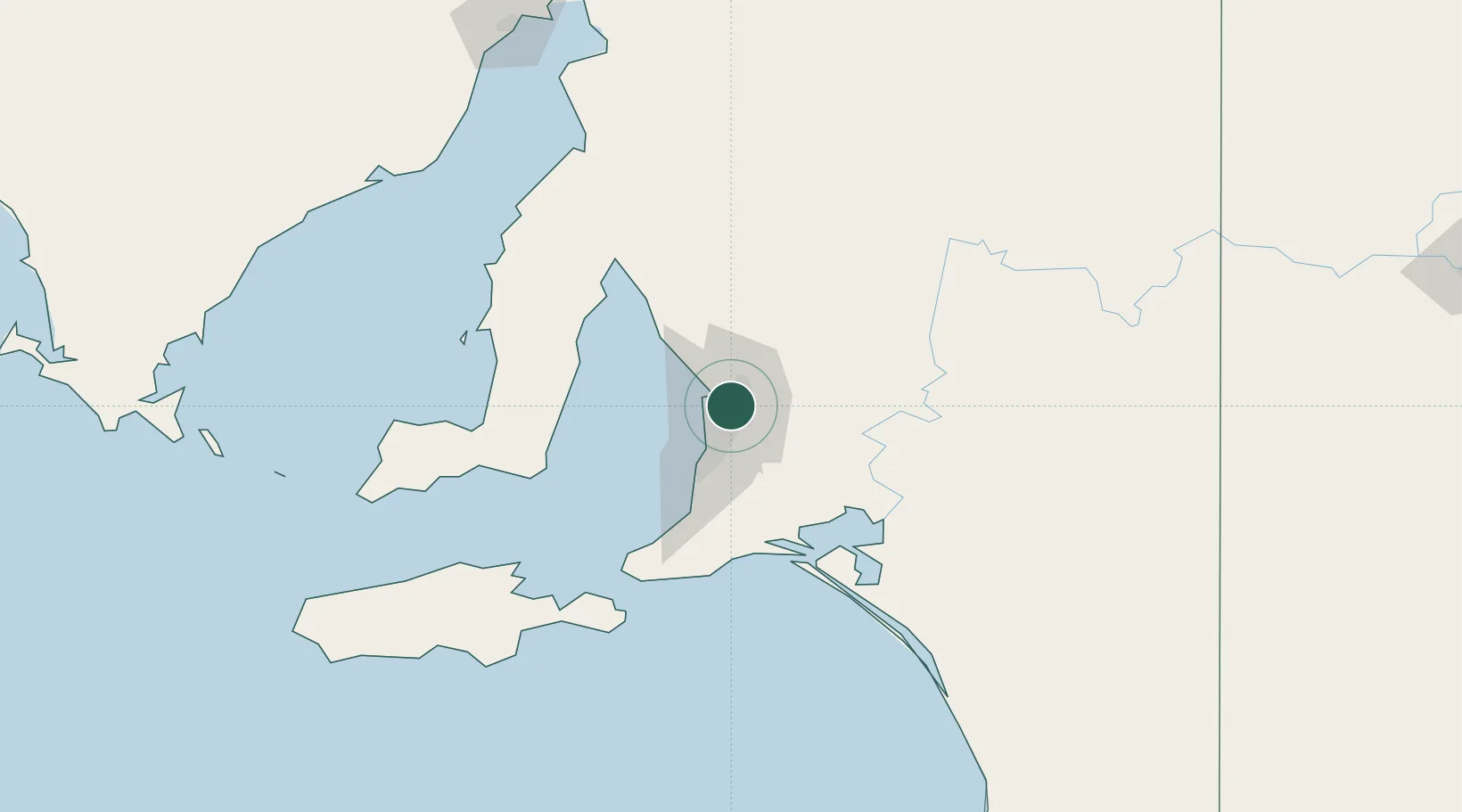
South Australia
Population
8,679
Time zone
Australia/Adelaide
Elevation
62 m
Location
Nearby Logistics Neighbours
Cities
- 1Klemzig4 km
- 2Modbury5 km
- 3Parafield6 km
- 4Hectorville6 km
- 5Green Fields6 km
Ports
- 1Port Adelaide12 km
- 2Ardrossan79 km
- 3Klein Point80 km
- 4Port Giles82 km
- 5Kingscote127 km
Airports
- 1RAAF Base Edinburgh14 km
- 2Adelaide International Airport16 km
- 3Kingscote Airport141 km
- 4Port Pirie Airport187 km
- 5Renmark Airport200 km
DatabookThe Record of Consolidated Knowledge
Australia beyond logistics?