UN/LOCODE hub · Australia
AUHMS

Hindmarsh

-34.9000°, 138.5667°
127
Population
1
Transport functions

Transport Functions

Multimodal
UN/LOCODE

Hub Profile

Place type
Populated place
GeoNames
Region
South Australia
GeoNames
Population
127
GeoNames
Time zone
Australia/Adelaide
GeoNames
Elevation
28 m
GeoNames

Location

Location of AUHMS
Natural Earth 10m (public domain) · South Australia · AUHMS · -34.90, 138.57GoogleOSMYandex

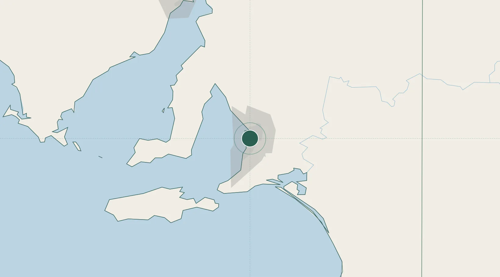
Nearby Logistics Neighbours

Cities
  1. 1Cowandilla2 km
  2. 2Gilberton3 km
  3. 3Findon3 km
  4. 4Welland3 km
  5. 5Beverley4 km
Nearest neighbours — logibook spatial index (haversine) over the source coordinates
Ports
  1. 1Port Adelaide8 km
  2. 2Klein Point73 km
  3. 3Port Giles74 km
  4. 4Ardrossan79 km
  5. 5Kingscote118 km
Nearest neighbours — logibook spatial index (haversine) over the source coordinates
Airports
  1. 1Adelaide International Airport6 km
  2. 2RAAF Base Edinburgh22 km
  3. 3Kingscote Airport131 km
  4. 4Port Pirie Airport192 km
  5. 5Renmark Airport208 km
Nearest neighbours — logibook spatial index (haversine) over the source coordinates
DatabookThe Record of Consolidated Knowledge
Australia beyond logistics?
Browse databook

All Sources

LocationsUN/LOCODE
UN/LOCODE — free
LocationsGeoNames
CC BY 4.0
Portsthe NGA World Port Index
Public domain (US gov)
AirportsOurAirports
Public domain
Trade Zonesthe World Bank SEZ database
CC BY 4.0
Trade ZonesOpen Zone Map
CC BY
← Australia locations