Transport Functions
Port
Road
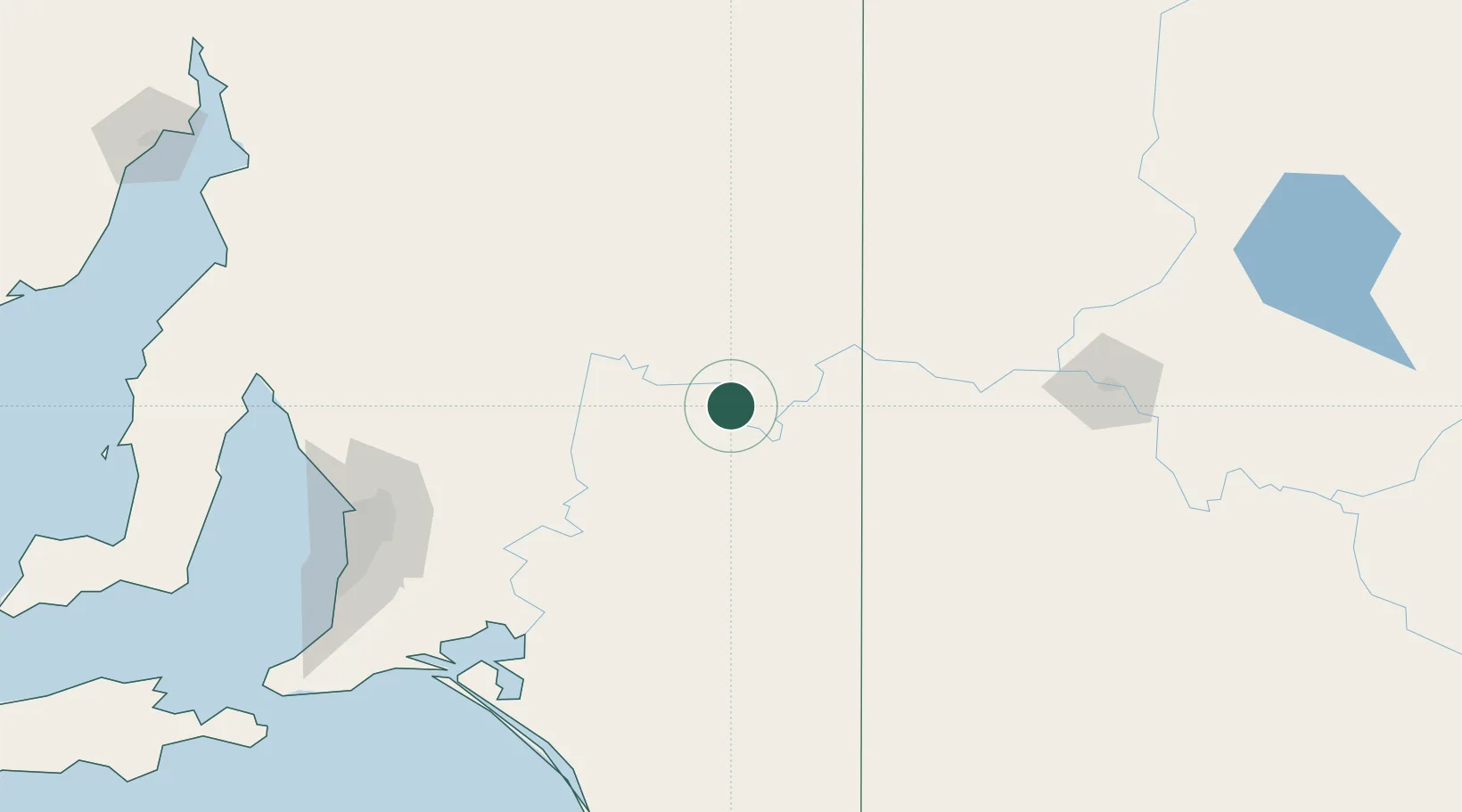
Hub Profile
Place type
Populated place
Region
South Australia
Population
180
Time zone
Australia/Adelaide
Elevation
15 m
Location
Nearby Logistics Neighbours
Cities
- 1Mindarie61 km
- 2Keyneton116 km
- 3Eden Valley122 km
- 4Greenock133 km
- 5Cromer135 km
Ports
- 1Port Adelaide181 km
- 2Ardrossan224 km
- 3Port Pirie248 km
- 4Klein Point248 km
- 5Port Giles251 km
Airports
- 1Renmark Airport31 km
- 2Mildura Airport160 km
- 3RAAF Base Edinburgh166 km
- 4Adelaide International Airport182 km
- 5Hopetoun Airport243 km
Trade Zones
DatabookThe Record of Consolidated Knowledge
Australia beyond logistics?