Transport Functions
Port
Multimodal
Hub Profile
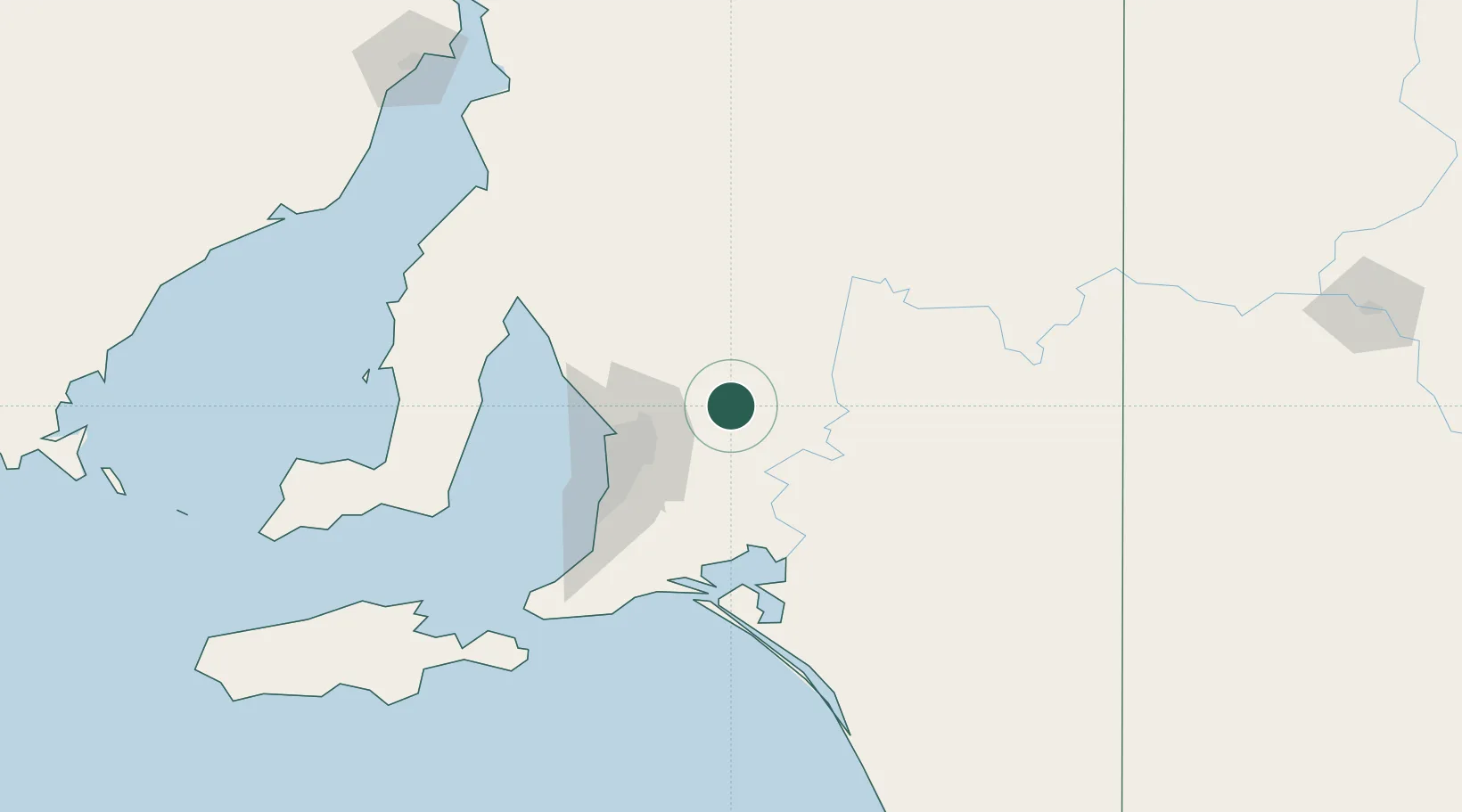
Place type
Populated place
Region
South Australia
Population
348
Time zone
Australia/Adelaide
Elevation
372 m
Location
Nearby Logistics Neighbours
Cities
- 1Keyneton10 km
- 2Cromer16 km
- 3Greenock26 km
- 4Gumeracha28 km
- 5Shea Oak Log30 km
Ports
- 1Port Adelaide59 km
- 2Ardrossan111 km
- 3Klein Point127 km
- 4Port Giles129 km
- 5Wallaroo158 km
Airports
- 1RAAF Base Edinburgh45 km
- 2Adelaide International Airport61 km
- 3Renmark Airport153 km
- 4Kingscote Airport186 km
- 5Port Pirie Airport187 km
Trade Zones
DatabookThe Record of Consolidated Knowledge
Australia beyond logistics?