Transport Functions
Port
Hub Profile
Place type
Populated place
Region
South Australia
Population
179
Time zone
Australia/Adelaide
Elevation
481 m
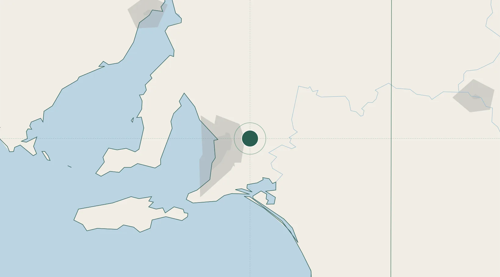
Location
Nearby Logistics Neighbours
Cities
- 1Gumeracha13 km
- 2Eden Valley16 km
- 3Cudlee Creek18 km
- 4Keyneton25 km
- 5Balhannah29 km
Ports
- 1Port Adelaide47 km
- 2Ardrossan106 km
- 3Klein Point115 km
- 4Port Giles116 km
- 5Kingscote157 km
Airports
- 1RAAF Base Edinburgh36 km
- 2Adelaide International Airport47 km
- 3Renmark Airport166 km
- 4Kingscote Airport171 km
- 5Port Pirie Airport194 km
DatabookThe Record of Consolidated Knowledge
Australia beyond logistics?