Transport Functions
Port
Multimodal
Hub Profile
Place type
Populated place
Region
South Australia
Population
1,060
Time zone
Australia/Adelaide
Elevation
269 m
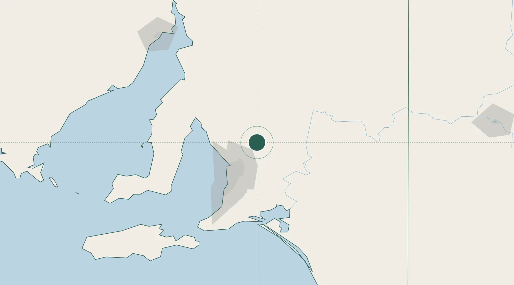
Location
Nearby Logistics Neighbours
Cities
- 1Shea Oak Log11 km
- 2Keyneton23 km
- 3Eden Valley26 km
- 4Cromer34 km
- 5Elizabeth37 km
Ports
- 1Port Adelaide57 km
- 2Ardrossan92 km
- 3Klein Point119 km
- 4Port Giles123 km
- 5Wallaroo134 km
Airports
- 1RAAF Base Edinburgh38 km
- 2Adelaide International Airport64 km
- 3Port Pirie Airport161 km
- 4Renmark Airport164 km
- 5Kingscote Airport188 km
DatabookThe Record of Consolidated Knowledge
Australia beyond logistics?