Medium airport · Australia
Mildura AirportYMIA
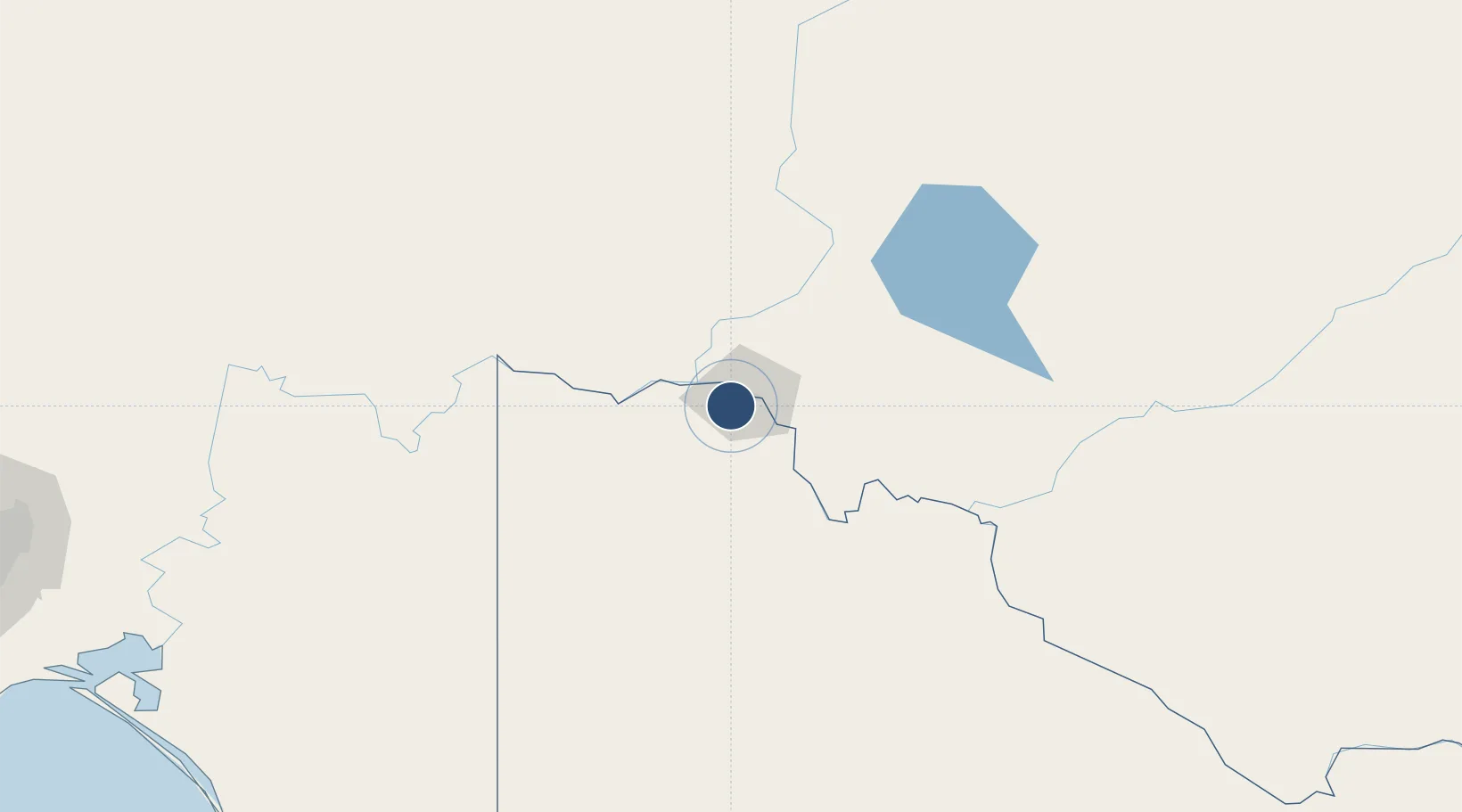
-34.2292°, 142.0860°
6,004 ft
Longest runway
2
Runways
167 ft
Elevation
Runway & Layout

Radio Frequencies
CTAF
118.8 MHz
FSS
122.1 MHz
MELBOURNE CNTR
Navaids
MIA VOR-DME Mildura 113.70 MHz
MIA NDB Mildura 272 kHz
Runways · 2
| Runway | Dimensions | Surface | True heading | Lit |
|---|---|---|---|---|
| 09/27 | 6,004 × 148ft | Asphalt | 102° | ✓ |
| 18/36 | 3,737 × 98ft | Asphalt | 186° | ✓ |
Airport Specifications
IATA code
MQL
ICAO code
YMIA
Airport class
Medium airport
Scheduled service
Yes
Runway surface
Asphalt
Served city
Mildura
Location
Nearby Logistics Neighbours
Airports
- 1Renmark Airport130 km
- 2Balranald Airport144 km
- 3Hopetoun Airport167 km
- 4Swan Hill Airport184 km
- 5Warracknabeal Airport235 km
Cities
- 1Irymple8 km
- 2Boundary Bend111 km
- 3Moorook160 km
- 4Mindarie183 km
- 5Ivanhoe249 km
Ports
- 1Port Adelaide336 km
- 2Ardrossan384 km
- 3Port Pirie394 km
- 4Klein Point404 km
- 5Port Giles405 km
Trade Zones
DatabookThe Record of Consolidated Knowledge
Australia beyond logistics?