Transport Functions
Rail
Road
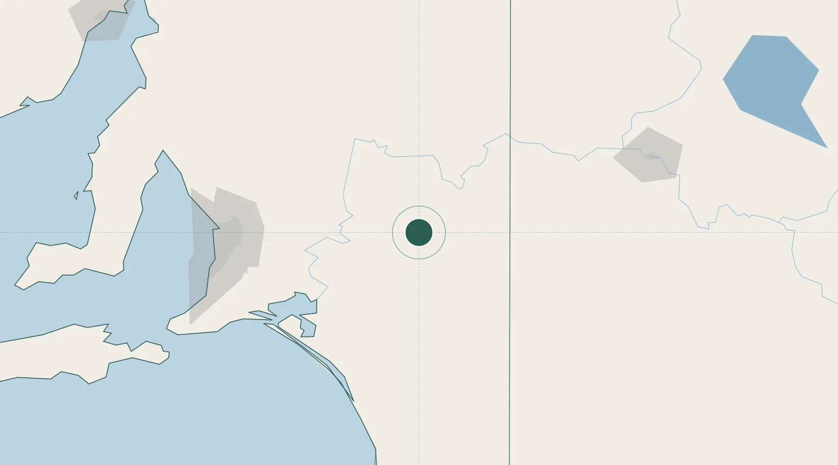
Hub Profile
Place type
Populated place
Region
South Australia
Population
37
Time zone
Australia/Adelaide
Elevation
78 m
Location
Nearby Logistics Neighbours
Cities
- 1Moorook61 km
- 2Langhorne Creek96 km
- 3Keyneton103 km
- 4Eden Valley104 km
- 5Cromer111 km
Ports
- 1Port Adelaide157 km
- 2Ardrossan215 km
- 3Klein Point224 km
- 4Port Giles225 km
- 5Kingscote252 km
Airports
- 1Renmark Airport81 km
- 2RAAF Base Edinburgh147 km
- 3Adelaide International Airport154 km
- 4Mildura Airport183 km
- 5Hopetoun Airport219 km
Trade Zones
DatabookThe Record of Consolidated Knowledge
Australia beyond logistics?