Medium airport · Australia

Hopetoun AirportYHPN
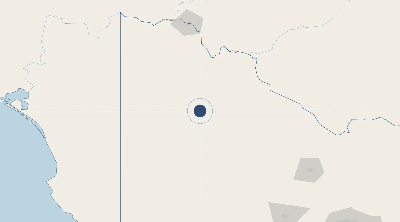
-35.7153°, 142.3600°
3,730 ft
Longest runway
2
Runways
256 ft
Elevation

Runway & Layout

Hopetoun Airport runway & taxiway layout
Runway & taxiway layout — OpenStreetMap (ODbL) / OurAirports

Radio Frequencies

CTAF
126.7 MHz
FSS
125.8 MHz
MELBOURNE CNTR
OurAirports

Runways · 2

RunwayDimensions SurfaceTrue headingLit
01/19 3,730 × 60ft Asphalt 021°
08/26 1,598 × 98ft Grass 091°
OurAirports

Airport Specifications

IATA code
HTU
OurAirports
ICAO code
YHPN
OurAirports
Airport class
Medium airport
OurAirports
Scheduled service
No
OurAirports
Runway surface
Asphalt
OurAirports

Location

Location of YHPN
Natural Earth 10m (public domain) · Victoria · YHPN · -35.72, 142.36GoogleOSMYandex

Nearby Logistics Neighbours

Airports
  1. 1Warracknabeal Airport68 km
  2. 2Horsham Airport107 km
  3. 3Swan Hill Airport113 km
  4. 4Kerang Airport143 km
  5. 5Stawell Airport155 km
Nearest neighbours — logibook spatial index (haversine) over the source coordinates
Cities
  1. 1Boort130 km
  2. 2Boundary Bend134 km
  3. 3Irymple164 km
  4. 4Great Western165 km
  5. 5Warrenmang169 km
Nearest neighbours — logibook spatial index (haversine) over the source coordinates
Ports
  1. 1Warrnambool299 km
  2. 2Portland299 km
  3. 3Geelong324 km
  4. 4Melbourne331 km
  5. 5Port Adelaide363 km
Nearest neighbours — logibook spatial index (haversine) over the source coordinates
Trade Zones
  1. 1Latrobe Valley Economic Growth Zone455 km
  2. 2Paga Hill Estate Special Economic Zone2957 km
  3. 3Ihu Special Economic Zone3109 km
  4. 4Western Province Special Economic Zone3211 km
  5. 5Morobe Agricultural Special Economic Zone3251 km
Nearest neighbours — logibook spatial index (haversine) over the source coordinates
DatabookThe Record of Consolidated Knowledge
Australia beyond logistics?
Browse databook

All Sources

AirportsOurAirports
Public domain
Portsthe NGA World Port Index
Public domain (US gov)
LocationsUN/LOCODE
UN/LOCODE — free
Trade Zonesthe World Bank SEZ database
CC BY 4.0
Trade ZonesOpen Zone Map
CC BY
InfrastructureOpenStreetMap
ODbL 1.0
← Australia airports