Transport Functions
Port
Multimodal
Hub Profile
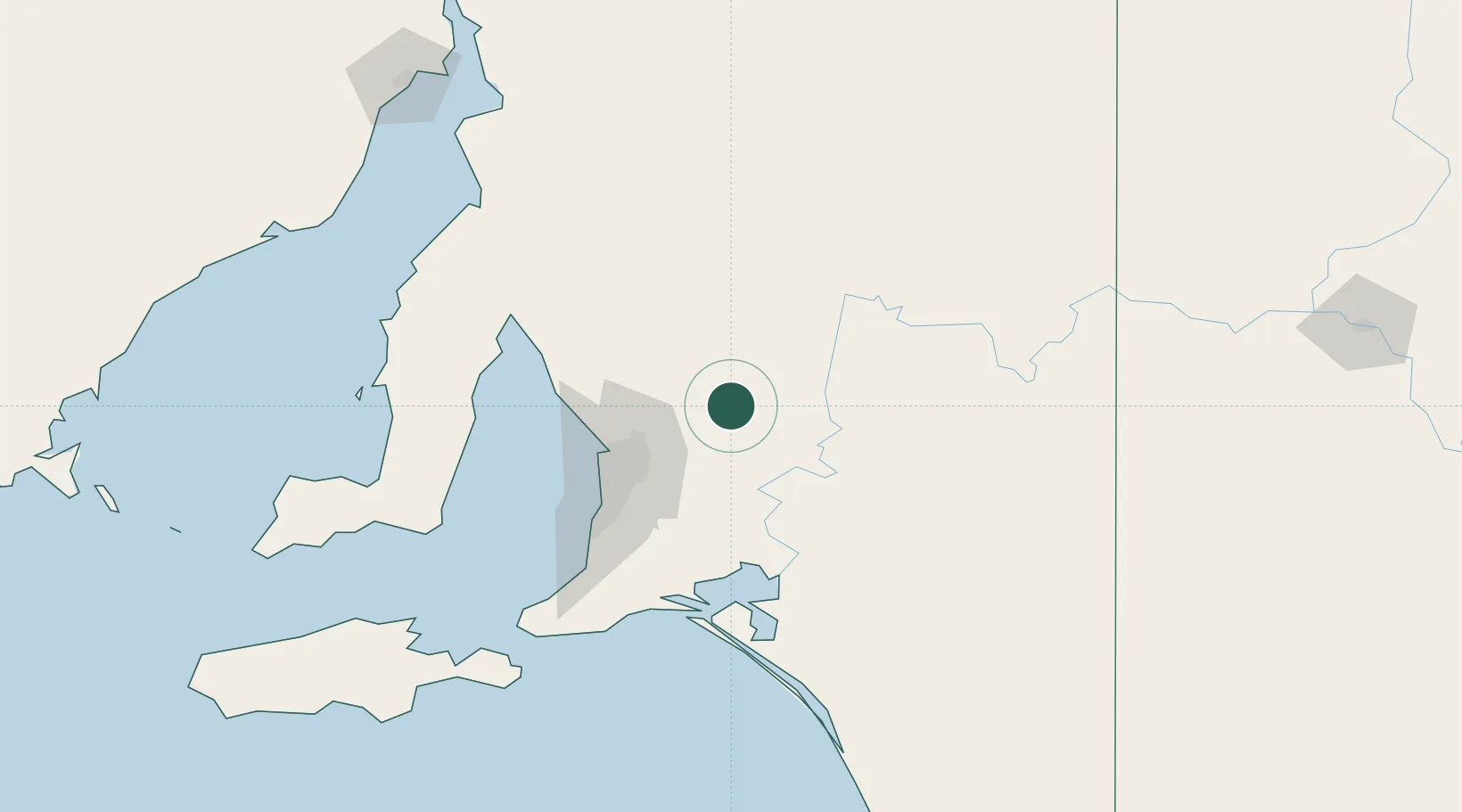
Place type
Populated place
Region
South Australia
Population
298
Time zone
Australia/Adelaide
Elevation
386 m
Location
Nearby Logistics Neighbours
Cities
- 1Eden Valley10 km
- 2Greenock23 km
- 3Cromer25 km
- 4Shea Oak Log30 km
- 5Gumeracha37 km
Ports
- 1Port Adelaide66 km
- 2Ardrossan113 km
- 3Klein Point133 km
- 4Port Giles135 km
- 5Wallaroo156 km
Airports
- 1RAAF Base Edinburgh50 km
- 2Adelaide International Airport69 km
- 3Renmark Airport147 km
- 4Port Pirie Airport181 km
- 5Kingscote Airport194 km
Trade Zones
DatabookThe Record of Consolidated Knowledge
Australia beyond logistics?