Channel & Berth Profile
Pilotage, Tugs & Services
Pilotage compulsoryYES
Pilotage availableYES
Tug assistanceYES
Salvage tugsNO
Shore powerYES
Potable waterYES
Diesel bunkersYES
MedicalYES
Garbage disposalYES
Facilities & Capabilities
Container—
Ro-Ro—
Liquid bulk—
Dry bulk—
Oil terminal—
Break bulk—
Dry dock—
RepairsNO
Bunkering—
Rail linkYES
Dangerous cargo—
ISPS security—
Harbour Specifications
Harbour size
Small
Harbour type
River (Natural)
Shelter
Excellent
Water body
Spencer Gulf; Indian Ocean
Tidal range
2 m
Overhead limit
Yes
Pilotage
Yes
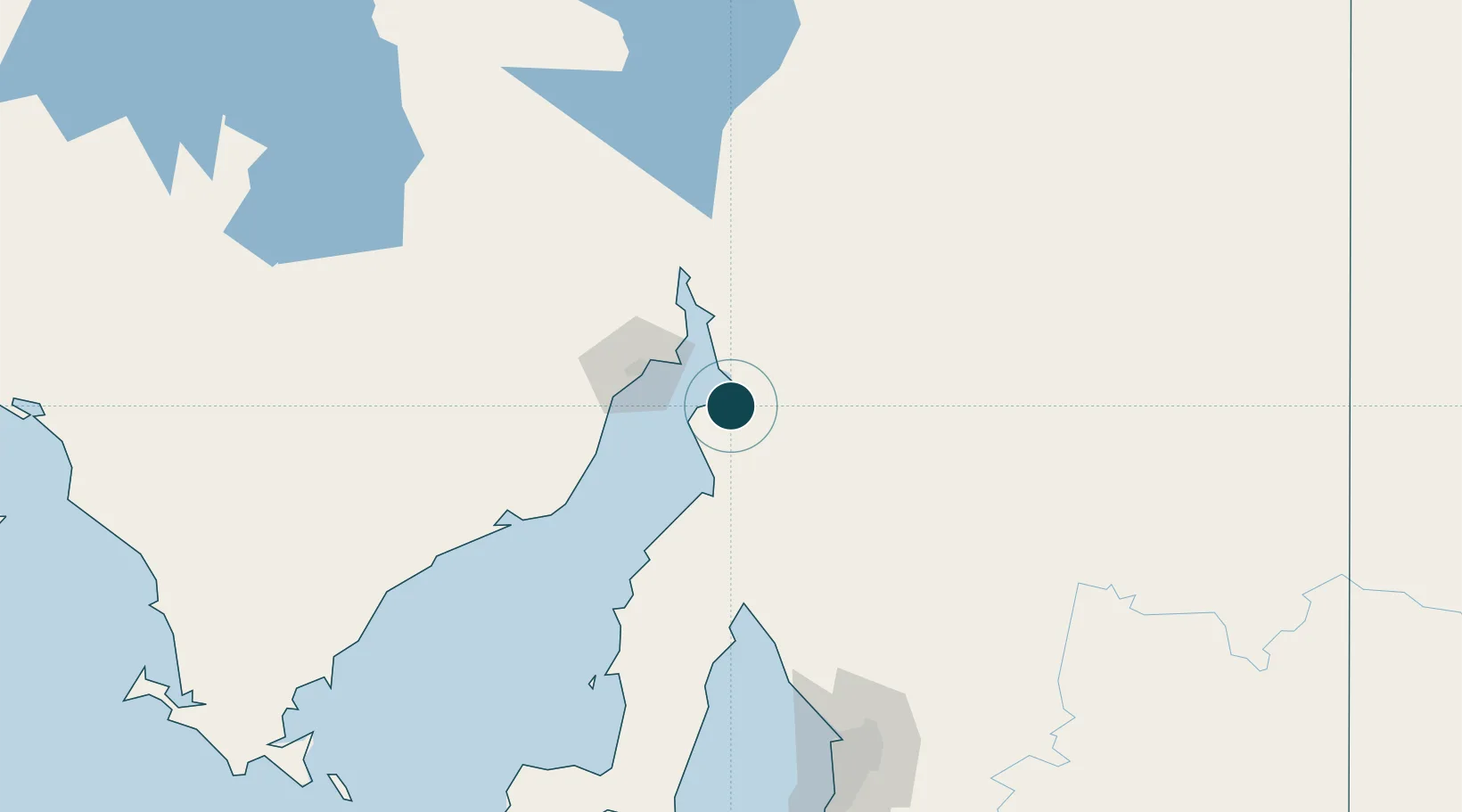
Location
Nearby Logistics Neighbours
Ports
- 1Port Bonython30 km
- 2Whyalla44 km
- 3Wallaroo91 km
- 4Ardrossan139 km
- 5Port Adelaide191 km
Airports
- 1Port Pirie Airport7 km
- 2Whyalla Airport49 km
- 3Port Augusta Airport80 km
- 4Cleve Airport152 km
- 5RAAF Base Edinburgh178 km
DatabookThe Record of Consolidated Knowledge
Australia beyond logistics?