UN/LOCODE hub · Australia
AULGR
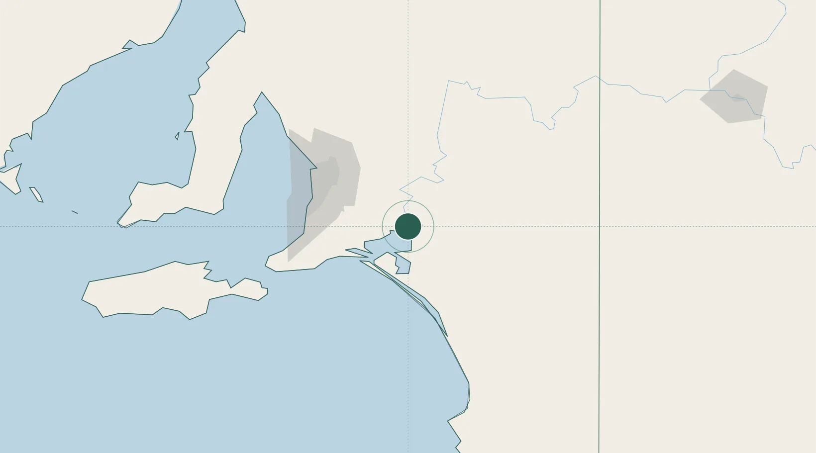
Langhorne Creek
-35.2833°, 139.3333°
422
Population
1
Transport functions
Transport Functions
Multimodal
Hub Profile
Place type
Populated place
Region
South Australia
Population
422
Time zone
Australia/Adelaide
Elevation
24 m
Location
Nearby Logistics Neighbours
Cities
- 1Kensington Gardens35 km
- 2Belvidere36 km
- 3Meadows54 km
- 4Goolwa55 km
- 5Hahndorf56 km
Ports
- 1Port Adelaide90 km
- 2Port Giles145 km
- 3Klein Point147 km
- 4Kingscote159 km
- 5Ardrossan160 km
Airports
- 1Adelaide International Airport82 km
- 2RAAF Base Edinburgh92 km
- 3Kingscote Airport171 km
- 4Renmark Airport172 km
- 5Port Pirie Airport259 km
Trade Zones
DatabookThe Record of Consolidated Knowledge
Australia beyond logistics?