Transport Functions
Multimodal
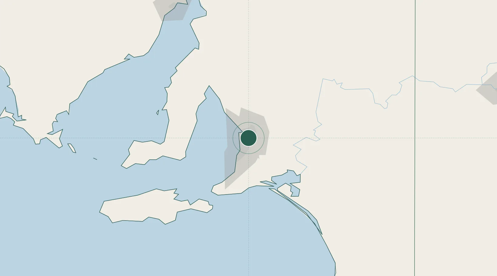
Hub Profile
Place type
Populated place
Region
South Australia
Population
6,018
Time zone
Australia/Adelaide
Elevation
52 m
Location
Nearby Logistics Neighbours
Cities
- 1Hectorville2 km
- 2Ingle Farm4 km
- 3Gilberton5 km
- 4Rose Park6 km
- 5Modbury6 km
Ports
- 1Port Adelaide12 km
- 2Klein Point80 km
- 3Port Giles81 km
- 4Ardrossan81 km
- 5Kingscote125 km
Airports
- 1Adelaide International Airport13 km
- 2RAAF Base Edinburgh18 km
- 3Kingscote Airport138 km
- 4Port Pirie Airport190 km
- 5Renmark Airport201 km
DatabookThe Record of Consolidated Knowledge
Australia beyond logistics?