UN/LOCODE hub · Australia
AUCAS

Castlereagh

-33.6667°, 150.6833°
1,148
Population
1
Transport functions

Transport Functions

Multimodal
UN/LOCODE

Hub Profile

Place type
Urban district
GeoNames
Region
New South Wales
GeoNames
Population
1,148
GeoNames
Time zone
Australia/Sydney
GeoNames
Elevation
20 m
GeoNames

Location

Location of AUCAS
Natural Earth 10m (public domain) · New South Wales · AUCAS · -33.67, 150.68GoogleOSMYandex

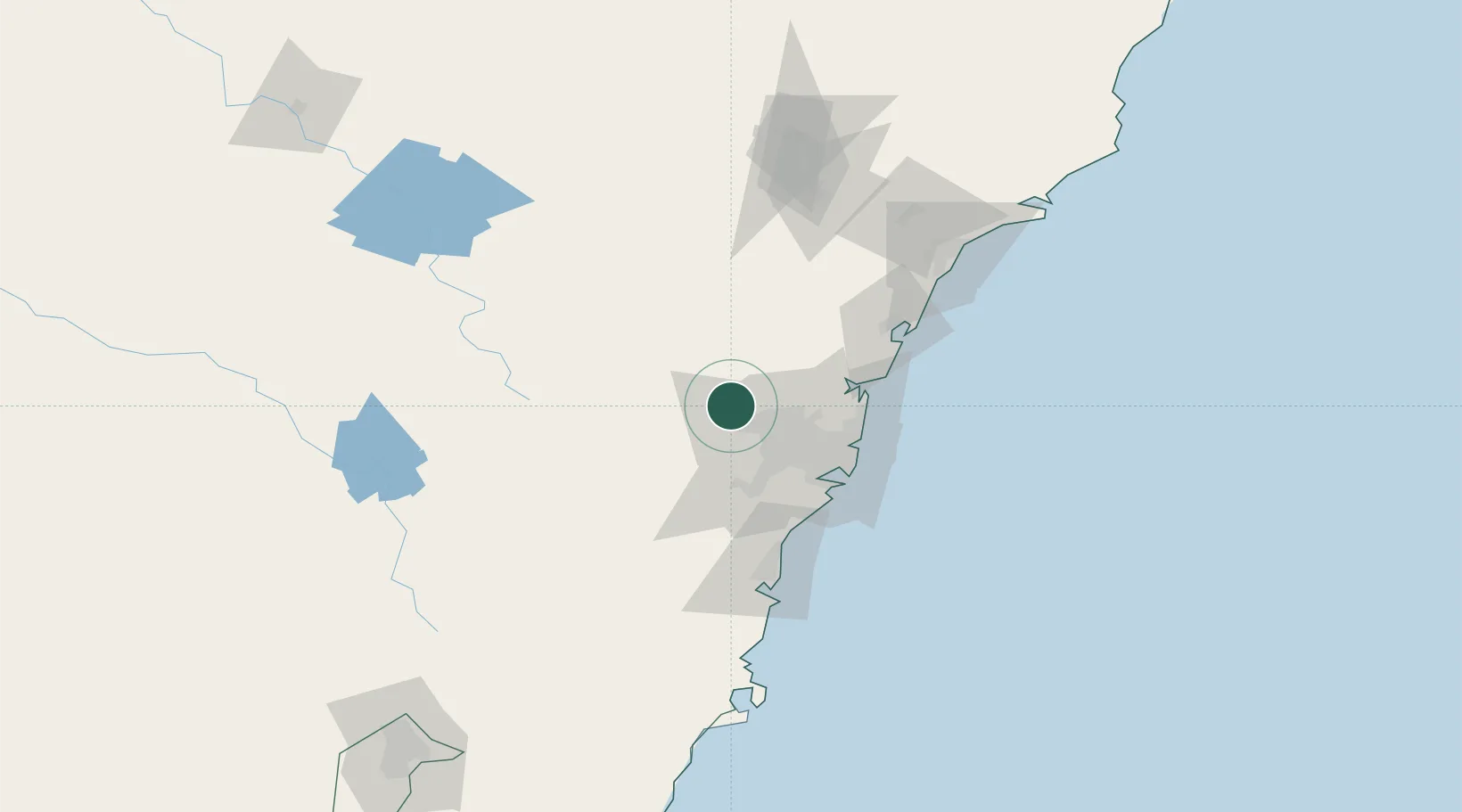
Nearby Logistics Neighbours

Cities
  1. 1Emu Plains9 km
  2. 2South Windsor12 km
  3. 3Windsor14 km
  4. 4Glendenning17 km
  5. 5Arndell Park21 km
Nearest neighbours — logibook spatial index (haversine) over the source coordinates
Ports
  1. 1Sydney53 km
  2. 2Botany Bay63 km
  3. 3Port Kembla93 km
  4. 4Newcastle132 km
  5. 5Jervis Bay162 km
Nearest neighbours — logibook spatial index (haversine) over the source coordinates
Airports
  1. 1RAAF Base Richmond12 km
  2. 2Sydney Bankstown Airport40 km
  3. 3Camden Airport41 km
  4. 4Sydney Kingsford Smith International Airport55 km
  5. 5Palm Beach Seaplane Base60 km
Nearest neighbours — logibook spatial index (haversine) over the source coordinates
Trade Zones
  1. 1Latrobe Valley Economic Growth Zone638 km
  2. 2Hicks Bay Area Special Economic Zone2510 km
  3. 3Vanuatu Economic Development Zone2610 km
  4. 4Paga Hill Estate Special Economic Zone2713 km
  5. 5Tulagi Island Special Economic Zone2898 km
Nearest neighbours — logibook spatial index (haversine) over the source coordinates
DatabookThe Record of Consolidated Knowledge
Australia beyond logistics?
Browse databook

All Sources

LocationsUN/LOCODE
UN/LOCODE — free
LocationsGeoNames
CC BY 4.0
Portsthe NGA World Port Index
Public domain (US gov)
AirportsOurAirports
Public domain
Trade Zonesthe World Bank SEZ database
CC BY 4.0
Trade ZonesOpen Zone Map
CC BY
← Australia locations