UN/LOCODE hub · Australia
AUKTB

Katoomba

-33.7167°, 150.3167°
8,204
Population
2
Transport functions

Transport Functions

Rail
Road
UN/LOCODE

Hub Profile

Place type
Provincial seat
GeoNames
Region
New South Wales
GeoNames
Population
8,204
GeoNames
Time zone
Australia/Sydney
GeoNames
Elevation
991 m
GeoNames

Location

Location of AUKTB
Natural Earth 10m (public domain) · New South Wales · AUKTB · -33.72, 150.32GoogleOSMYandex

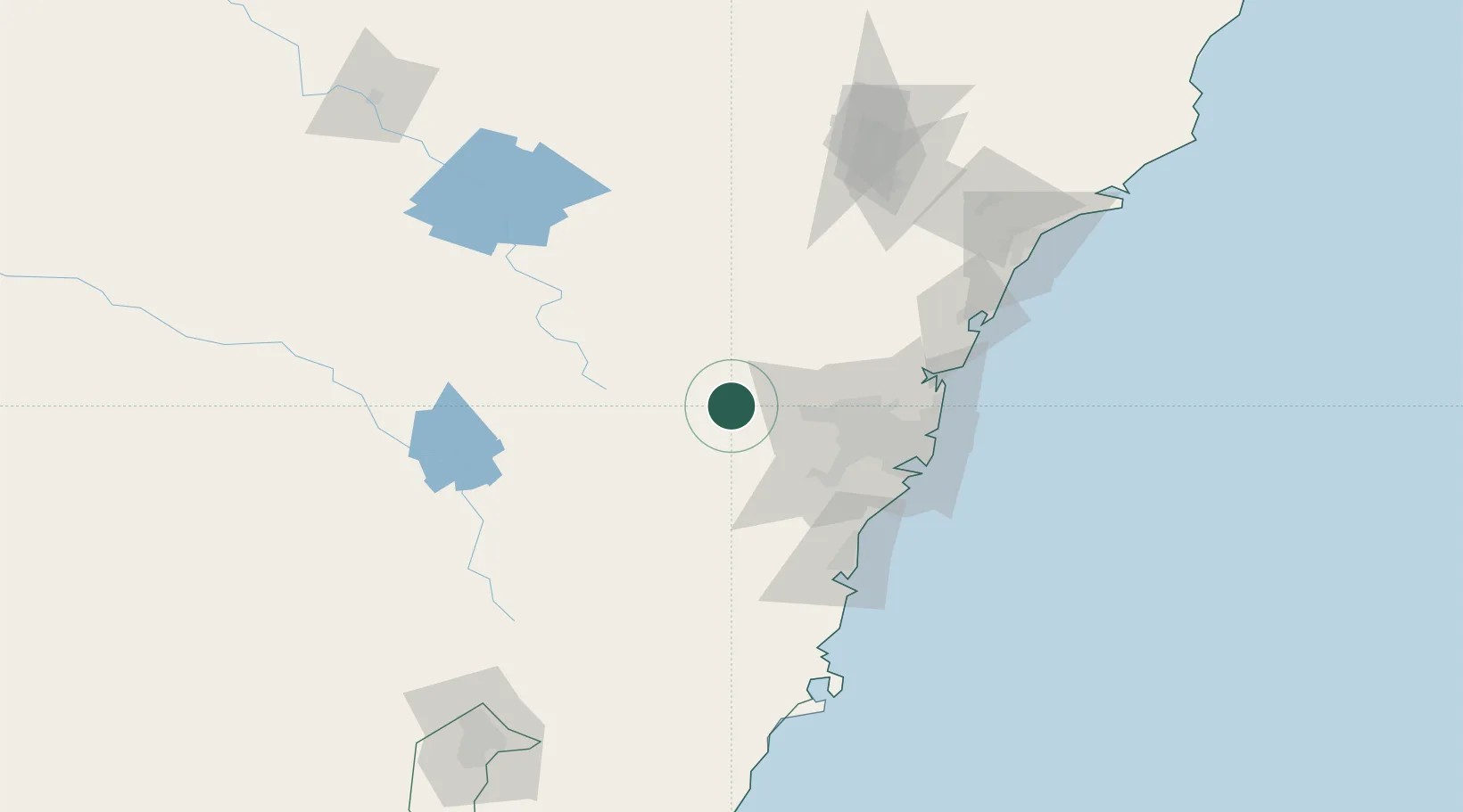
Nearby Logistics Neighbours

Cities
  1. 1Lithgow30 km
  2. 2Emu Plains33 km
  3. 3Castlereagh34 km
  4. 4South Windsor46 km
  5. 5Windsor48 km
Nearest neighbours — logibook spatial index (haversine) over the source coordinates
Ports
  1. 1Sydney83 km
  2. 2Botany Bay90 km
  3. 3Port Kembla102 km
  4. 4Jervis Bay162 km
  5. 5Newcastle163 km
Nearest neighbours — logibook spatial index (haversine) over the source coordinates
Airports
  1. 1RAAF Base Richmond45 km
  2. 2Camden Airport49 km
  3. 3Sydney Bankstown Airport66 km
  4. 4Bathurst Airport71 km
  5. 5Sydney Kingsford Smith International Airport84 km
Nearest neighbours — logibook spatial index (haversine) over the source coordinates
Trade Zones
  1. 1Latrobe Valley Economic Growth Zone614 km
  2. 2Hicks Bay Area Special Economic Zone2541 km
  3. 3Vanuatu Economic Development Zone2638 km
  4. 4Paga Hill Estate Special Economic Zone2714 km
  5. 5Ihu Special Economic Zone2915 km
Nearest neighbours — logibook spatial index (haversine) over the source coordinates
DatabookThe Record of Consolidated Knowledge
Australia beyond logistics?
Browse databook

All Sources

LocationsUN/LOCODE
UN/LOCODE — free
LocationsGeoNames
CC BY 4.0
Portsthe NGA World Port Index
Public domain (US gov)
AirportsOurAirports
Public domain
Trade Zonesthe World Bank SEZ database
CC BY 4.0
Trade ZonesOpen Zone Map
CC BY
← Australia locations