UN/LOCODE hub · Australia
AUSWO
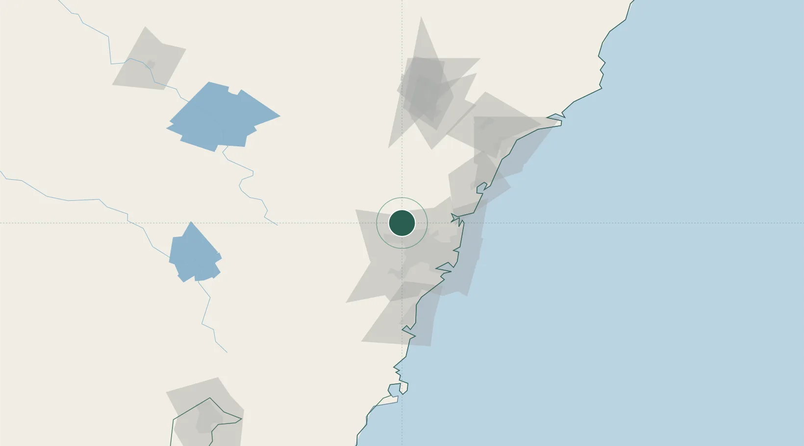
South Windsor
-33.6167°, 150.8000°
5,855
Population
3
Transport functions
Transport Functions
Rail
Road
Multimodal
Hub Profile
Place type
Urban district
Region
New South Wales
Population
5,855
Time zone
Australia/Sydney
Elevation
26 m
Location
Nearby Logistics Neighbours
Cities
- 1Windsor2 km
- 2Castlereagh12 km
- 3Glendenning14 km
- 4Kings Park16 km
- 5Marayong18 km
Ports
- 1Sydney46 km
- 2Botany Bay59 km
- 3Port Kembla97 km
- 4Newcastle120 km
- 5Jervis Bay167 km
Airports
Trade Zones
DatabookThe Record of Consolidated Knowledge
Australia beyond logistics?