Transport Functions
Rail
Road
Hub Profile
Place type
Urban district
Region
New South Wales
Population
8,395
Time zone
Australia/Sydney
Elevation
27 m
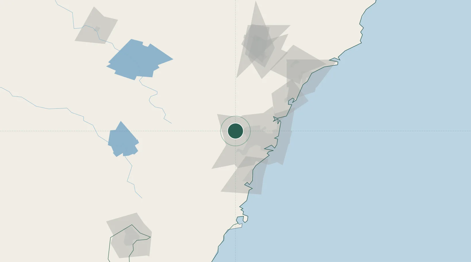
Location
Nearby Logistics Neighbours
Cities
- 1Castlereagh9 km
- 2Glendenning17 km
- 3Arndell Park19 km
- 4South Windsor19 km
- 5Windsor20 km
Ports
- 1Sydney51 km
- 2Botany Bay59 km
- 3Port Kembla85 km
- 4Newcastle139 km
- 5Jervis Bay153 km
Airports
Trade Zones
DatabookThe Record of Consolidated Knowledge
Australia beyond logistics?