Transport Functions
Port
Multimodal
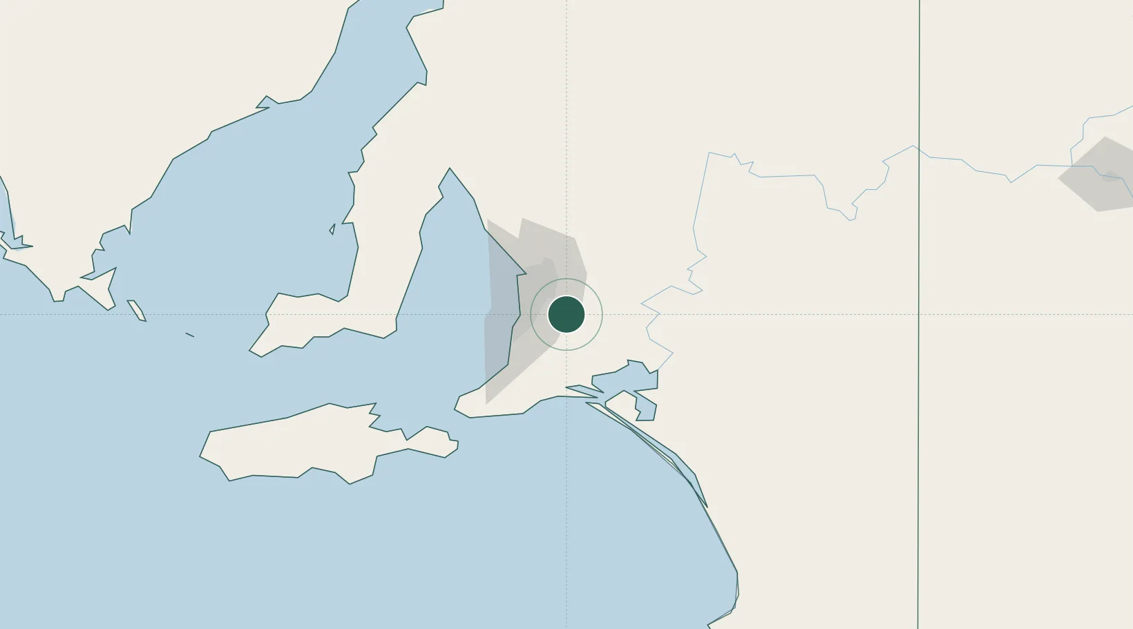
Hub Profile
Place type
Populated place
Region
South Australia
Population
2,715
Time zone
Australia/Adelaide
Elevation
341 m
Location
Nearby Logistics Neighbours
Ports
- 1Port Adelaide34 km
- 2Port Giles94 km
- 3Klein Point94 km
- 4Ardrossan105 km
- 5Kingscote125 km
Airports
- 1Adelaide International Airport26 km
- 2RAAF Base Edinburgh40 km
- 3Kingscote Airport139 km
- 4Renmark Airport195 km
- 5Port Pirie Airport213 km
DatabookThe Record of Consolidated Knowledge
Australia beyond logistics?